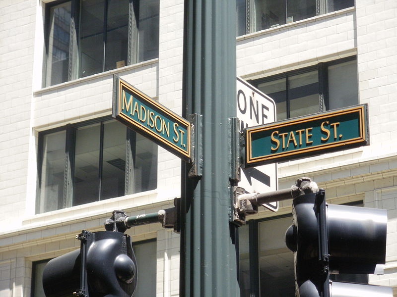
State Street, Chicago


Facts and practical information
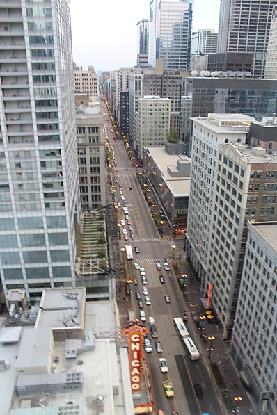
State Street, a vibrant artery in the heart of Chicago, is renowned as a bustling shopping district that beckons locals and tourists alike. This iconic thoroughfare has a storied history that dates back to the city's earliest days and has evolved into a shopper's paradise, offering an array of retail experiences from flagship department stores to unique boutiques.
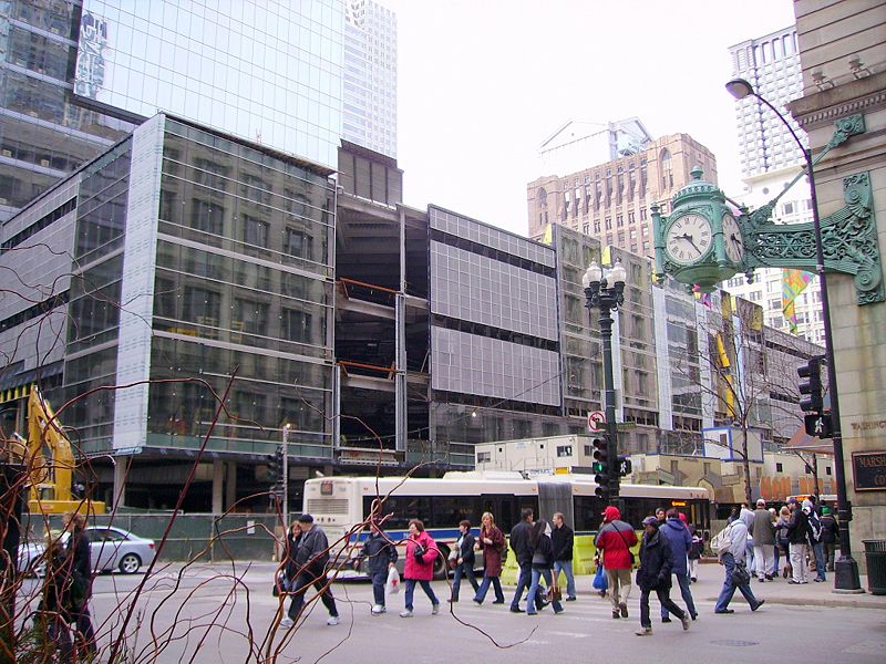
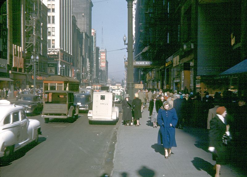
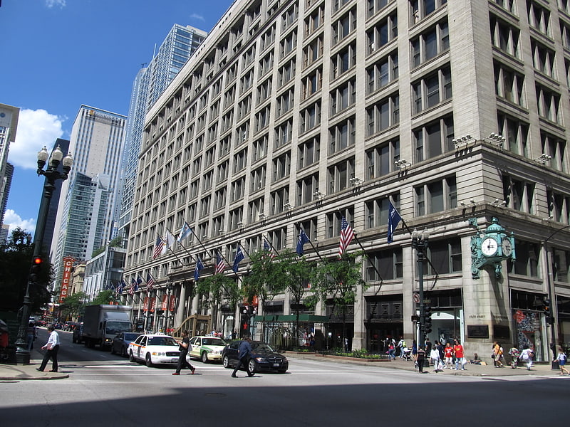
Once referred to as "that Great Street," State Street rose to prominence in the late 19th and early 20th centuries, especially with the establishment of the famed Marshall Field and Company, which set the standard for the grand American department store. Today, the legacy of Marshall Field's continues under the Macy's brand, housed in the same historic building that has been a landmark on State Street since 1892.
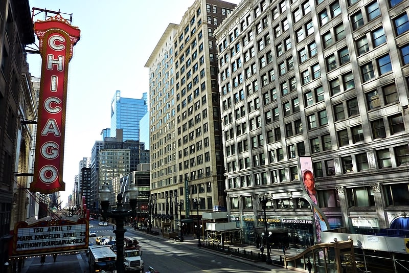
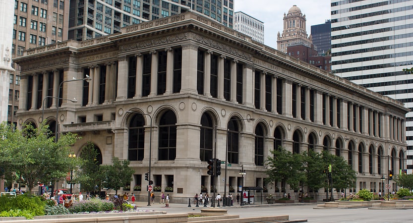
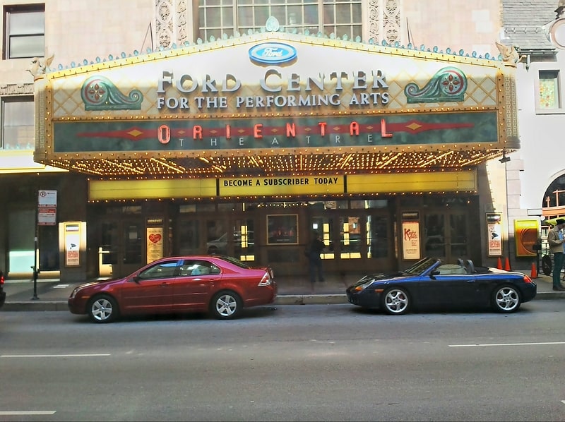
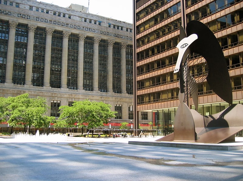
State Street's allure extends beyond shopping; it is a cultural hub, with the Chicago Theatre, a grand movie palace turned performing arts venue, and the Joffrey Ballet calling the area home. The Harold Washington Library Center, with its impressive architecture, also adds to the intellectual and cultural fabric of the street.
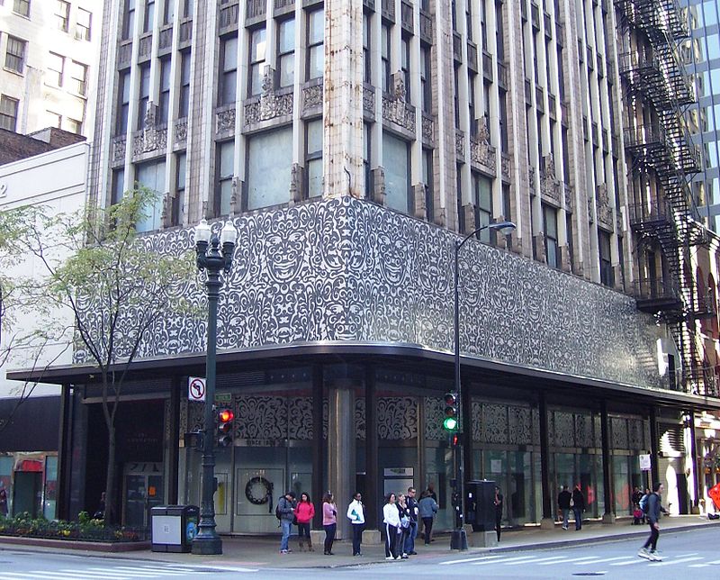
The pedestrian-friendly design encourages leisurely strolls, while the State Street Retail Historic District, located between Congress Parkway and Randolph Street, showcases stunning architecture and design. Seasonal decorations, like the famous holiday window displays, add a festive touch that transforms the street into a magical urban wonderland.
State StDowntown (The Loop)Chicago
- Metro
- Bus
- Train
 Metro
Metro
- Calculate routeState & Madison 1 min walk
- Calculate routeMadison & Dearborn/State 2 min walk
- Calculate routeWashington & State 2 min walk
- Calculate routeState & Washington 2 min walk
- Calculate routeWashington/Wabash 3 min walk
- Calculate routeMonroe 3 min walk
- Calculate routeWashington 3 min walk
- Calculate routeAdams/Wabash 5 min walk
- Calculate routeMillennium Station 7 min walk
- Calculate routeVan Buren Street 12 min walk
- Calculate routeLaSalle Street Station 14 min walk
- Calculate routeChicago Union Station 16 min walk
 Rail "L"
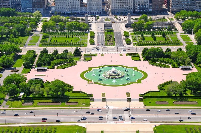


Frequently Asked Questions (FAQ)
Which popular attractions are close to State Street?
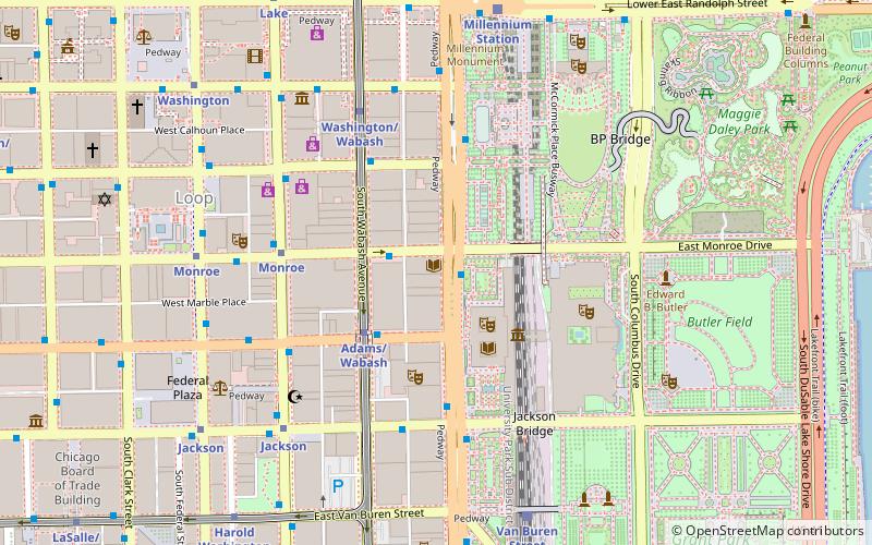
How to get to State Street by public transport?
Bus
- State & Madison • Lines: 10, 146, 147, 148, 2, 29 (1 min walk)
- Madison & Dearborn/State • Lines: 124, 157, 19, 20, 56, 60, J14, (N) N20, (N) N60 (2 min walk)
Metro
- Washington/Wabash • Lines: Brown, Green, Orange, Pink, Purple (3 min walk)
- Monroe • Lines: Blue, Red (3 min walk)
Train
- Millennium Station (7 min walk)
- Van Buren Street (12 min walk)