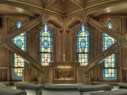
St. Peter's in the Loop, Chicago
Map
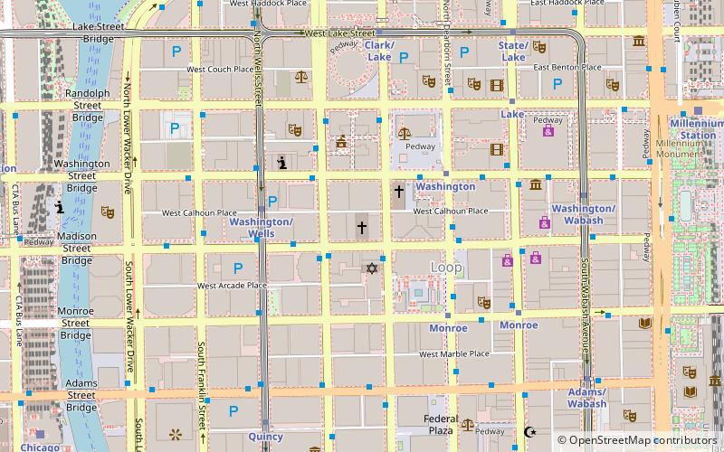
Map

Facts and practical information
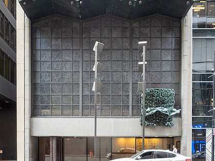
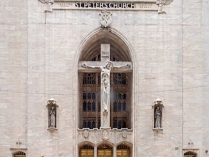
St. Peter's in the Loop, at the corner of Clark & Madison in Chicago, Illinois, was built in 1953. It was designed by architects Vitzthum & Burns. ()
Coordinates: 41°52'56"N, 87°37'53"W
Address
110 West Madison StreetDowntown (The Loop)Chicago
Contact
+1 312-372-5111
Social media
Add
Day trips
St. Peter's in the Loop – popular in the area (distance from the attraction)
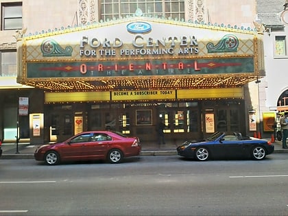
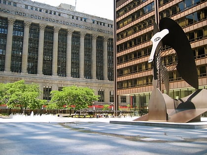
Nearby attractions include: State Street, Chicago Picasso, Loop Synagogue, Oriental Theatre.
Frequently Asked Questions (FAQ)
Which popular attractions are close to St. Peter's in the Loop?
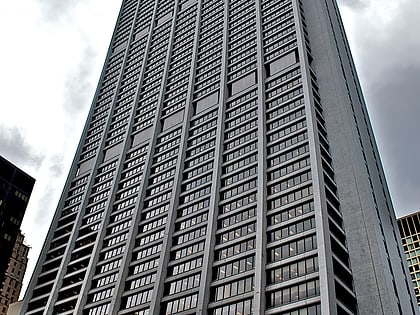
Nearby attractions include One North LaSalle, Chicago (1 min walk), Tacoma Building, Chicago (2 min walk), Burnham Center, Chicago (2 min walk), Three First National Plaza, Chicago (2 min walk).
How to get to St. Peter's in the Loop by public transport?
The nearest stations to St. Peter's in the Loop:
Bus
Metro
Train
Bus
- Clark & Madison • Lines: 22, 24, (N) N22 (2 min walk)
- LaSalle & Madison NB • Lines: 134, 135, 136, 156 (2 min walk)
Metro
- Washington • Lines: Blue (4 min walk)
- Washington/Wells • Lines: Brown, Orange, Pink, Purple (4 min walk)
Train
- Millennium Station (12 min walk)
- Chicago Union Station (12 min walk)
 Rail "L"

