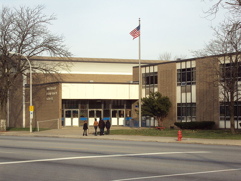
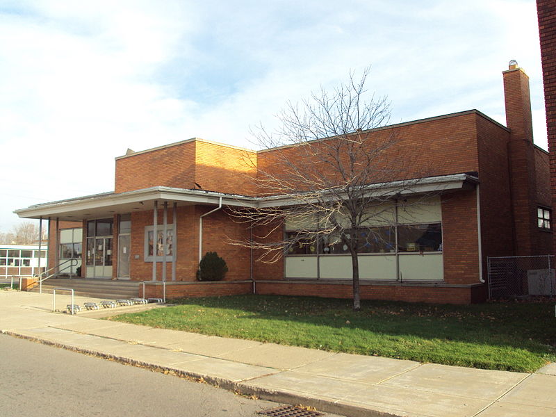
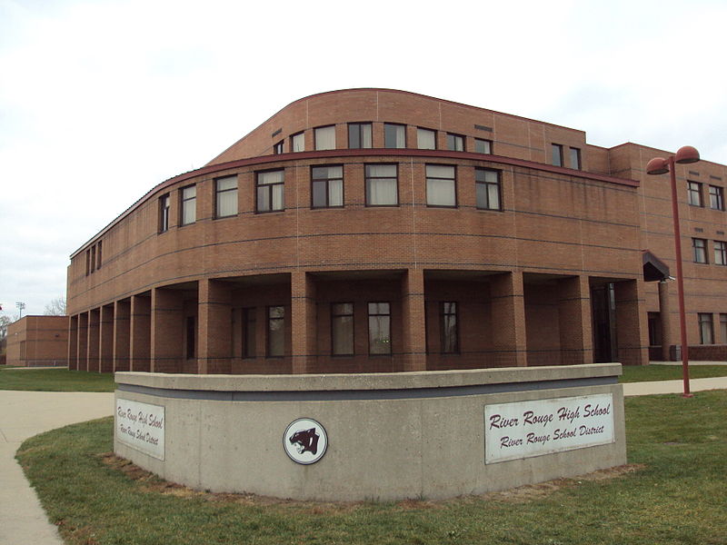
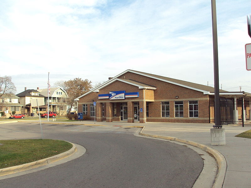
River Rouge, Detroit

Gallery (8)
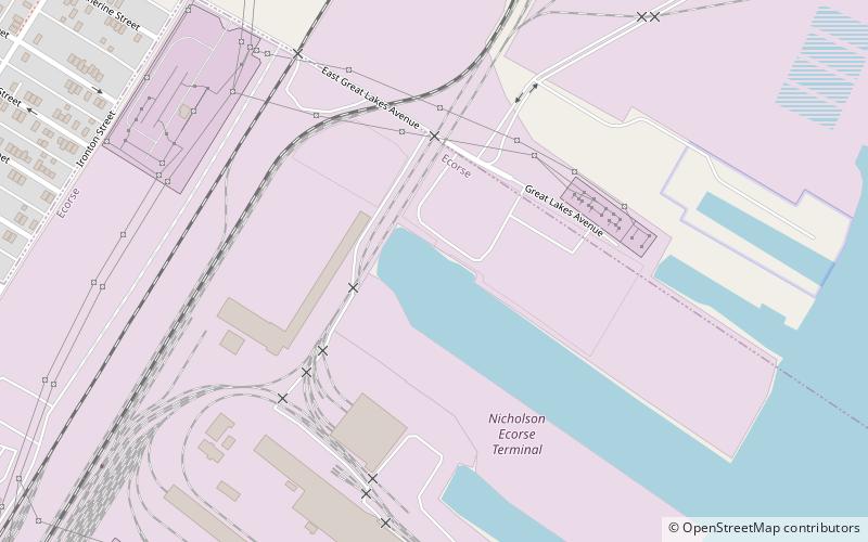
Map

Map

Gallery
Facts and practical information
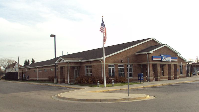
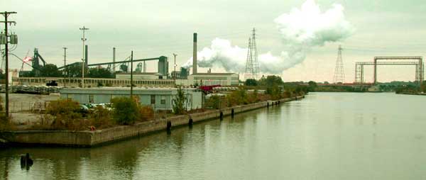
River Rouge is a city in Wayne County in the U.S. state of Michigan. The population was 7,224 at the 2020 census. ()
Getting there by public transportation
Public transportation stops near this location
- Bus
 Bus
Bus
- Calculate routeJefferson / Coolidge 2 min walk
- Calculate routeCoolidge / Jefferson 3 min walk
- Calculate routeJefferson / Henry 4 min walk
Day trips


Frequently Asked Questions (FAQ)
Which popular attractions are close to River Rouge?
Nearby attractions include West Jefferson Avenue–Rouge River Bridge, Detroit (17 min walk), Boynton–Oakwood Heights, Detroit (23 min walk).
How to get to River Rouge by public transport?
The nearest stations to River Rouge:
Bus
Bus
- Jefferson / Coolidge • Lines: 125 (2 min walk)
- Coolidge / Jefferson • Lines: 125, 41 (3 min walk)