Boynton–Oakwood Heights, Detroit

Gallery (6)
Map

Map

Gallery
Facts and practical information
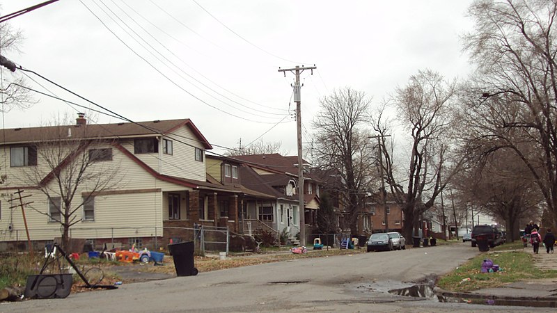
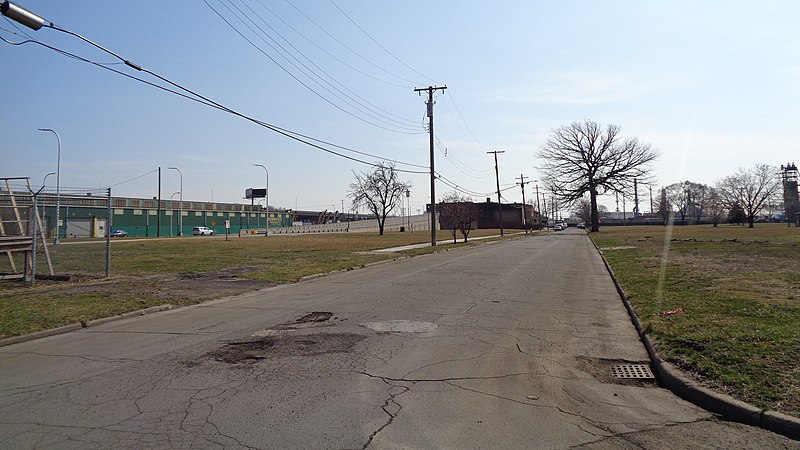
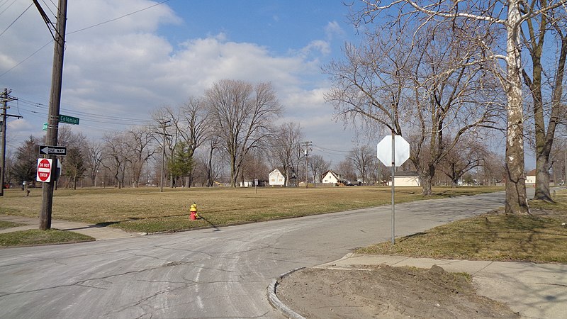
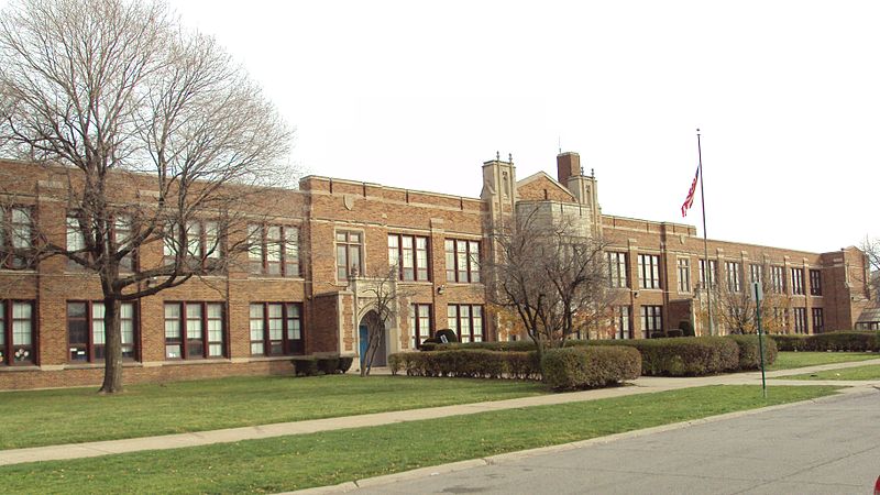
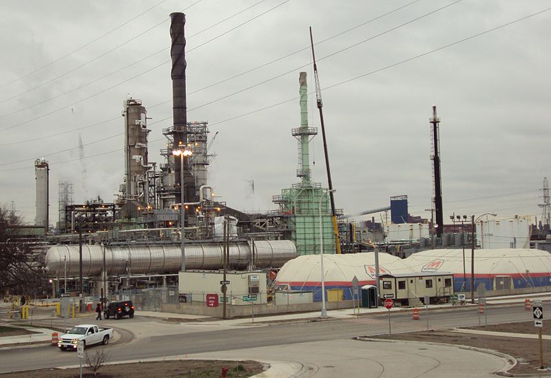
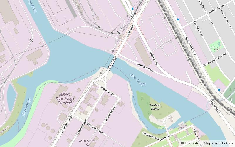
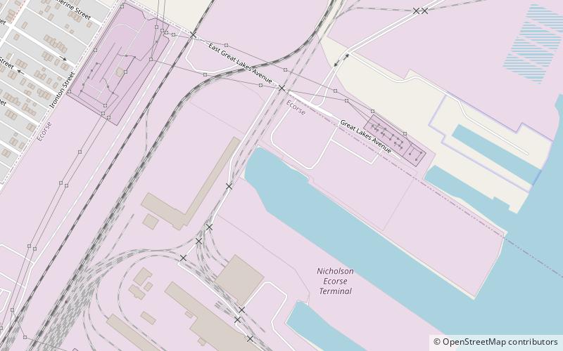
Boynton and Oakwood Heights are the two southernmost neighborhoods of the city of Detroit in the U.S. state of Michigan. The two neighborhoods occupy the only portions of Detroit located south of the River Rouge. ()
Coordinates: 42°16'31"N, 83°9'5"W
Address
BoyntonDetroit
ContactAdd
Social media
Add
Getting there by public transportation
Public transportation stops near this location
- Bus
 Bus
Bus
- Calculate routeSchaefer / Annabelle 2 min walk
Day trips
Boynton–Oakwood Heights – popular in the area (distance from the attraction)
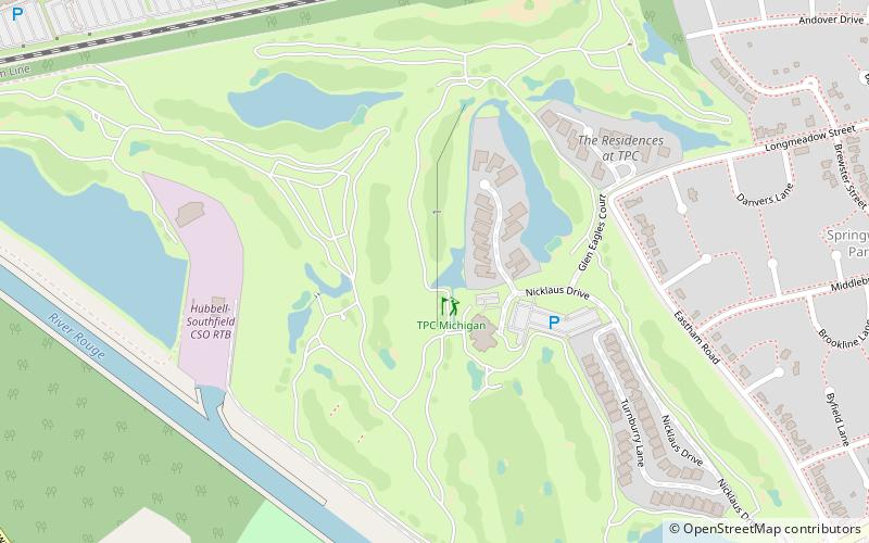
Nearby attractions include: Arab American National Museum, TPC Michigan, Dearborn Mosque, Fort Street–Pleasant Street and Norfolk & Western Railroad Viaduct.


Frequently Asked Questions (FAQ)
Which popular attractions are close to Boynton–Oakwood Heights?
Nearby attractions include Fort Street–Pleasant Street and Norfolk & Western Railroad Viaduct, Detroit (17 min walk), River Rouge, Detroit (23 min walk).
How to get to Boynton–Oakwood Heights by public transport?
The nearest stations to Boynton–Oakwood Heights:
Bus
Bus
- Schaefer / Annabelle • Lines: 41, 89 (2 min walk)