SS Columbia, Detroit
Map
Facts and practical information
SS Columbia is the last remaining excursion steamship from the turn of the 20th century in existence, the second to last being her running mate and sister ship SS Ste. Claire which burned in 2018. Both were designed by Frank E. Kirby and Louis O. Keil. Columbia was listed on the National Register of Historic Places in 1979, and was designated a National Historic Landmark in 1992. As of 2019, the vessel is docked at Silo City in Buffalo, New York while work is being done to rehabilitate it. ()
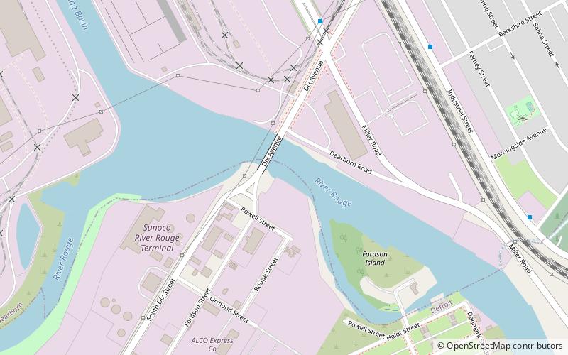
Coordinates: 42°15'39"N, 83°7'30"W
Address
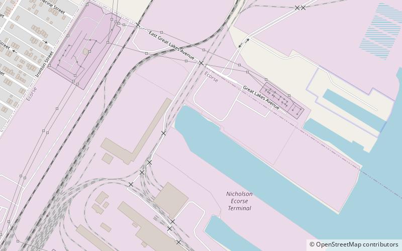
EcorseDetroit
ContactAdd
Social media
Add
Getting there by public transportation
Public transportation stops near this location
- Bus
 Bus
Bus
- Calculate routeJefferson / Forest 17 min walk
Day trips


Frequently Asked Questions (FAQ)
How to get to SS Columbia by public transport?
The nearest stations to SS Columbia:
Bus
Bus
- Jefferson / Forest • Lines: 125 (17 min walk)