Four Mile Trail, Yosemite National Park

Gallery (2)
Map
Map
Gallery
Facts and practical information
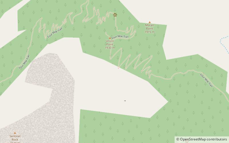
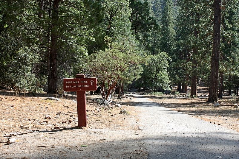
Four Mile Trail is a moderate to strenuous trail leading from Yosemite Valley to Glacier Point. The trail begins at the valley floor west of the Swinging Bridge recreation area, and climbs the south side 4.8 miles up to Glacier Point, an elevation change of 3,200 feet. ()
Elevation: 6411 ft a.s.l.Coordinates: 37°43'57"N, 119°35'13"W
Getting there by public transportation
Public transportation stops near this location
- Bus
 Bus
Bus
- Calculate routeValley Shuttle Stop #12 18 min walk
- Calculate routeEl Cap Shuttle Stop #E6 21 min walk
Day trips


Frequently Asked Questions (FAQ)
Which popular attractions are close to Four Mile Trail?
Nearby attractions include Sentinel Rock, Yosemite National Park (12 min walk), Yosemite Valley Chapel, Yosemite National Park (16 min walk), Sentinel Dome, Yosemite National Park (18 min walk), Staircase Falls, Yosemite West (18 min walk).
How to get to Four Mile Trail by public transport?
The nearest stations to Four Mile Trail:
Bus
Bus
- Valley Shuttle Stop #12 • Lines: Yosemite Valley Shuttle (18 min walk)
- El Cap Shuttle Stop #E6 • Lines: El Capitan Shuttle (21 min walk)