Sentinel Fall, Yosemite West
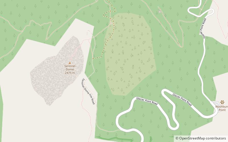
Map
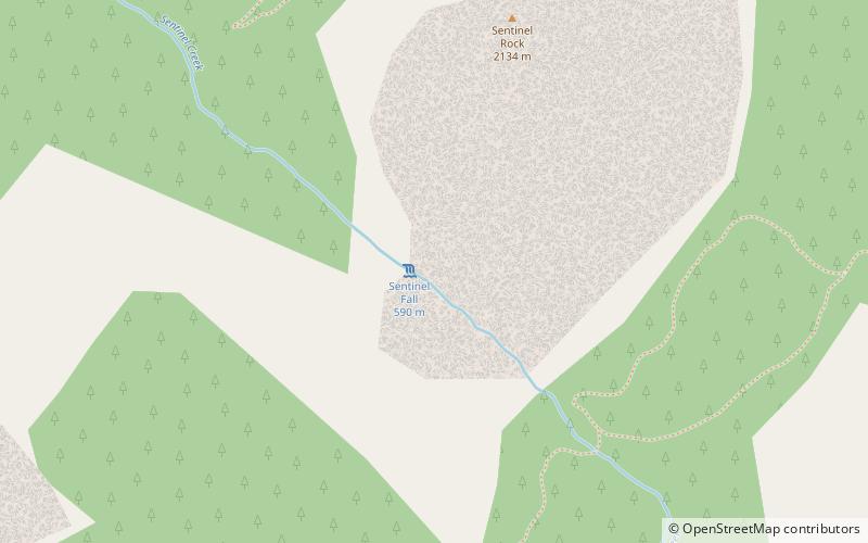
Map

Facts and practical information
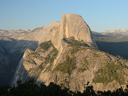
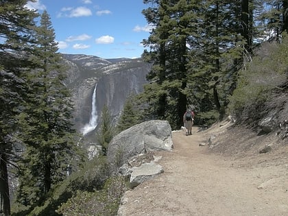
Sentinel Falls is a long series of cascades descending into Yosemite Valley, in the U.S. state of California, alongside Sentinel Rock. It is a tiered waterfall consisting of 6 major drops totaling 1,920 feet, the longest single drop being 500 feet. It ranks on many lists as the twelfth-highest waterfall in the world, although in truth it is roughly the sixtieth-tallest, as most weaker waterfalls do not make it into such lists. Despite its immense height it has a relatively low drainage and is usually dry by July. ()
Address
Yosemite West
ContactAdd
Social media
Add
Day trips
Sentinel Fall – popular in the area (distance from the attraction)
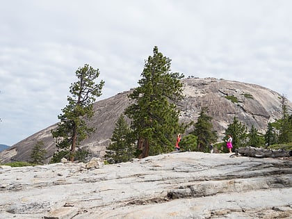
Nearby attractions include: Glacier Point, Four Mile Trail, Sentinel Dome, Midnight Lightning.
Frequently Asked Questions (FAQ)
Which popular attractions are close to Sentinel Fall?
Nearby attractions include Sentinel Rock, Yosemite National Park (8 min walk), Yosemite Valley Bridges, Yosemite National Park (15 min walk), Sentinel Dome, Yosemite National Park (18 min walk), Four Mile Trail, Yosemite National Park (19 min walk).
How to get to Sentinel Fall by public transport?
The nearest stations to Sentinel Fall:
Bus
Bus
- El Cap Shuttle Stop #E6 • Lines: El Capitan Shuttle (18 min walk)
- Valley Shuttle Stop #7 • Lines: Yosemite Valley Shuttle (31 min walk)

