Barr Trail, Colorado Springs
Map

Map

Facts and practical information
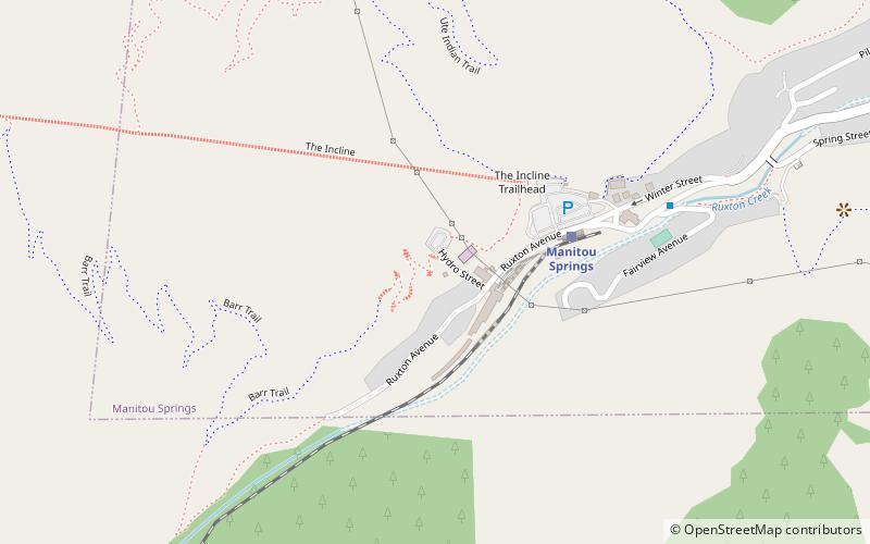
Barr Trail is a 13-mile trail in the Pike National Forest that begins in Manitou Springs, Colorado and ends at the Pikes Peak summit. The high elevation trail with a long sustained grade is rated more difficult by the U.S. Forest Service. With a 7,800 feet elevation gain to reach the summit, the Colorado Springs Convention & Visitors Bureau states that it is an advanced trail and is the most difficult trail in the Pikes Peak region. ()
Length: 13 miMaximum elevation: 14115 ftCoordinates: 38°51'20"N, 104°56'2"W
Day trips
Barr Trail – popular in the area (distance from the attraction)
Nearby attractions include: Manitou Incline, Cave of the Winds, Manitou Cliff Dwellings, Miramont Castle.
Frequently Asked Questions (FAQ)
Which popular attractions are close to Barr Trail?
Nearby attractions include Manitou Incline, Colorado Springs (10 min walk), Miramont Castle, Colorado Springs (18 min walk), Manitou Springs Historic District, Colorado Springs (19 min walk), Manitou Springs, Colorado Springs (23 min walk).
How to get to Barr Trail by public transport?
The nearest stations to Barr Trail:
Train
Train
- Manitou Springs (4 min walk)


