Manitou Incline, Colorado Springs


Facts and practical information
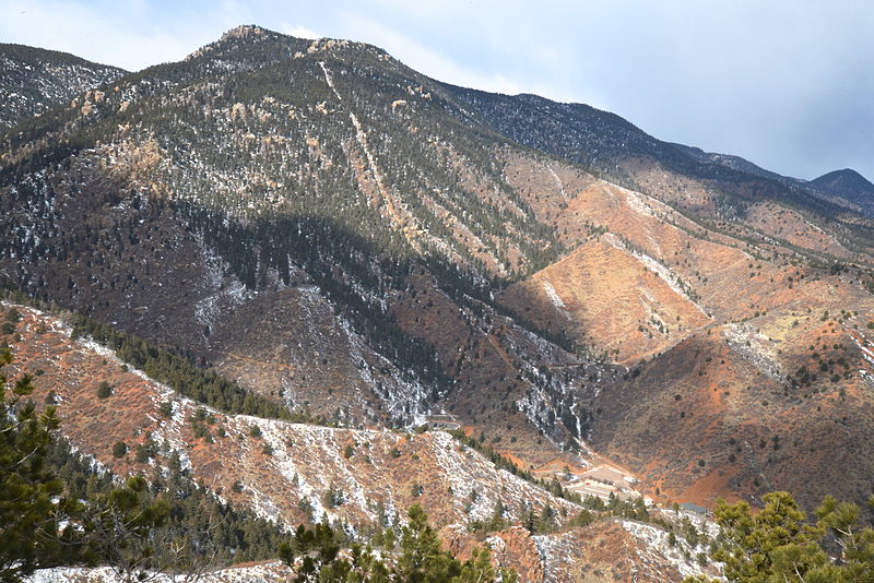
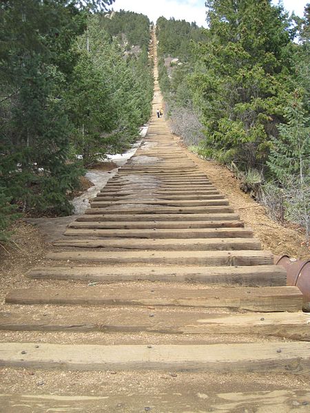
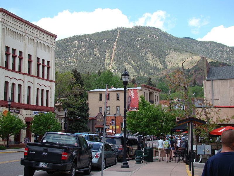
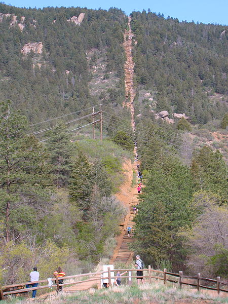
The Manitou Incline, a challenging and unique hiking trail located in Colorado Springs, United States, stands as a testament to the adventurous spirit. This steep staircase, with a history rooted in its former life as a cable car track, rises over 2,000 feet in less than a mile, making it a formidable physical endeavor for even seasoned athletes.
Originally constructed to support the construction of pipelines on Pikes Peak, the Manitou Incline was later transformed into a tourist attraction, with a cable car transporting visitors to enjoy the spectacular views from the top. However, after a rockslide damaged the tracks in 1990, the Incline was closed to the public. It wasn't until 2013 that the Manitou Incline was legally reopened for recreational use, quickly gaining popularity among hiking enthusiasts and fitness buffs seeking to test their limits.
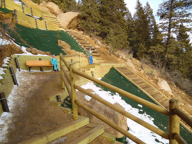
The trail, which consists of approximately 2,744 steps, offers no respite as it ascends at angles as steep as 68 degrees. The sheer incline and high altitude make for a grueling ascent, often requiring hikers to take frequent breaks despite the relatively short distance. The view from the summit, however, offers rewarding panoramic vistas of Colorado Springs and the surrounding plains, making the exertion worthwhile.
Despite its difficulty, the Manitou Incline attracts a diverse crowd, from locals looking for a regular workout to tourists seeking a unique outdoor experience. The trail is well-maintained, with clear markers and rest areas along the way. Visitors should be well-prepared with proper footwear, water, and snacks, and be mindful of the altitude and physical demands.
- Train
 Train
Train
- Calculate routeManitou Springs 13 min walk


Frequently Asked Questions (FAQ)
How to get to Manitou Incline by public transport?
Train
- Manitou Springs (13 min walk)