Saguaro Lake, Tonto National Forest
Map

Gallery

Facts and practical information
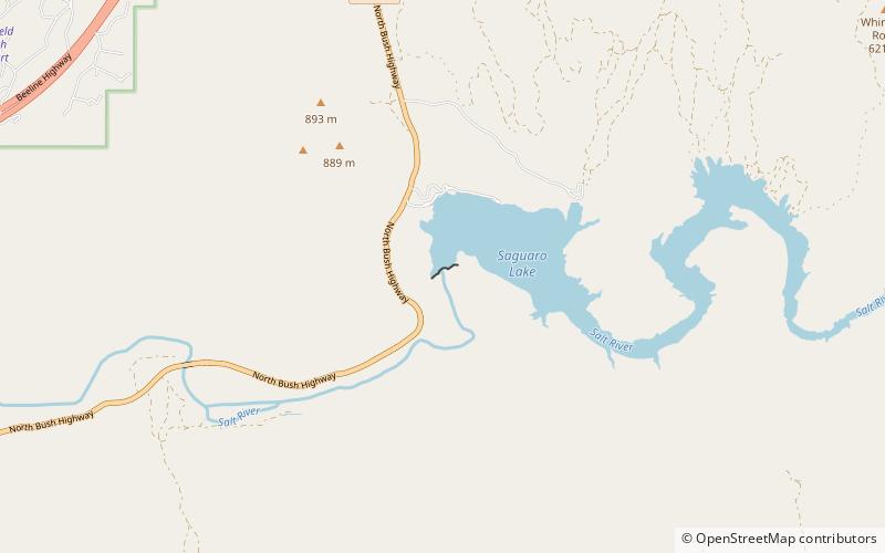
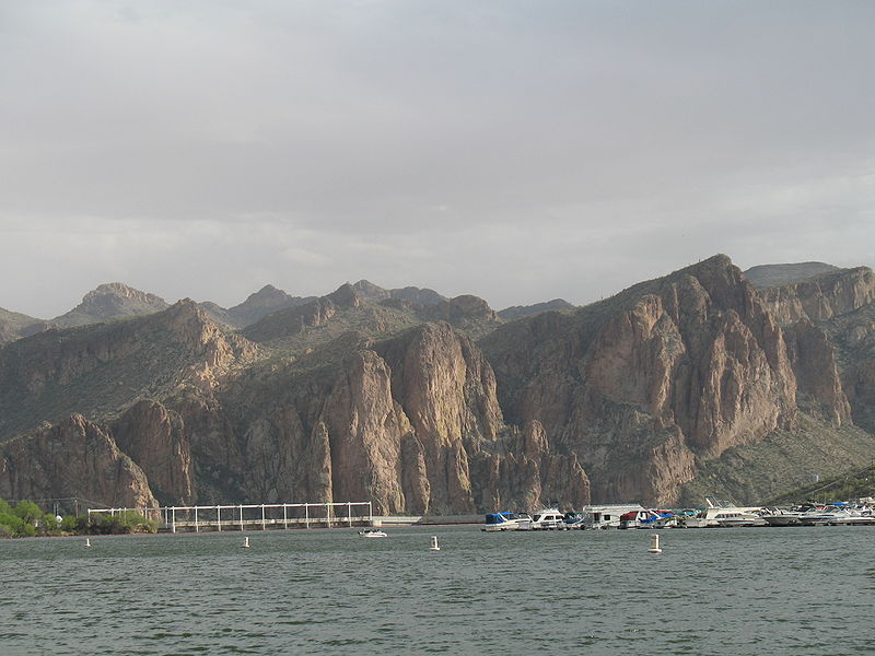
Saguaro Lake is the fourth reservoir on the Salt River, formed by the Stewart Mountain Dam in the U.S. state of Arizona. The lake is off State Route 87, about halfway between Phoenix and the ghost town of Sunflower. The dammed end of the lake is at 33.5656°N 111.5361°W / 33.5656; -111.5361, at an elevation of 1,506 feet. ()
Average depth: 90 ftElevation: 1437 ft a.s.l.Coordinates: 33°33'56"N, 111°32'10"W
Address
Tonto National Forest
ContactAdd
Social media
Add
Day trips
Saguaro Lake – popular in the area (distance from the attraction)
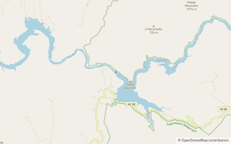
Nearby attractions include: Stewart Mountain Dam, Mormon Flat Dam, Goldfield Mountains.


