Stewart Mountain Dam, Tonto National Forest
Map

Map

Facts and practical information
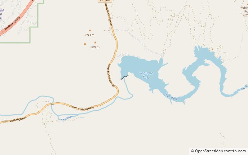
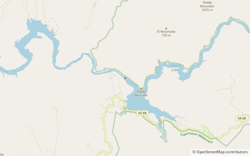
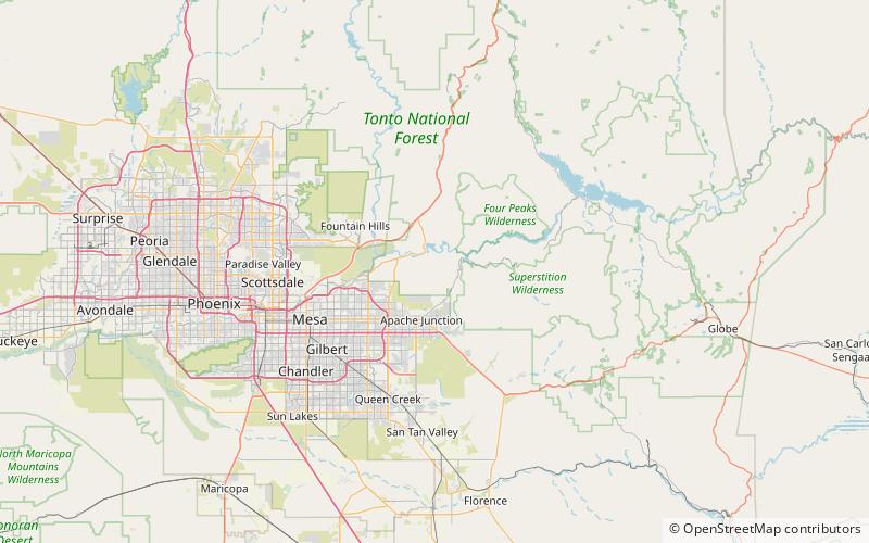
The Stewart Mountain Dam is a concrete thin arch dam located 41 miles northeast of Phoenix, Arizona. The dam is 1,260 feet long, 207 feet high, and was built between 1928 and 1930. The dam includes a 13,000 kilowatt hydroelectric generating unit that is operated by SRP, an Arizona public utility. It is primarily operated during the summer months. The dam forms Saguaro Lake as it slows the passage of the Salt River in Maricopa County, Arizona. It was named after a ranch that used to be located nearby known as the Old Stewart Ranch. ()
Opened: 1930 (96 years ago)Length: 1260 ftHeight: 207 ftReservoir area: 1.97 mi²Coordinates: 33°33'59"N, 111°32'10"W
Address
Tonto National Forest
ContactAdd
Social media
Add
Day trips
Stewart Mountain Dam – popular in the area (distance from the attraction)
Nearby attractions include: Mormon Flat Dam, Saguaro Lake, Goldfield Mountains.


