Goldfield Mountains, Tonto National Forest

Map
Facts and practical information
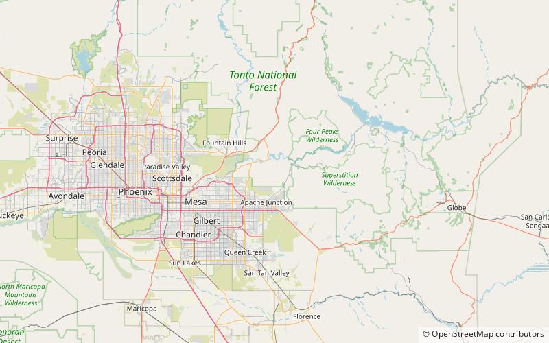
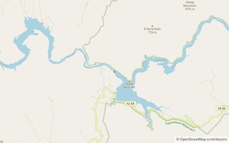
The Goldfield Mountains of Arizona are located adjacent to the Superstition Mountains, between Usery Pass and Canyon Lake. They are less known because of the Superstition Mountains, which are taller and more visible, and contain Canyon Lake, which is a huge historic site. The southern part of the Goldfield Mountains used to be a big mining district in 1893. ()
Coordinates: 33°31'0"N, 111°31'1"W
Address
Tonto National Forest
ContactAdd
Social media
Add
Day trips
Goldfield Mountains – popular in the area (distance from the attraction)
Nearby attractions include: Lost Dutchman State Park, Stewart Mountain Dam, Mormon Flat Dam, Canyon Lake.


