Gwynns Falls Trail, Baltimore

Facts and practical information
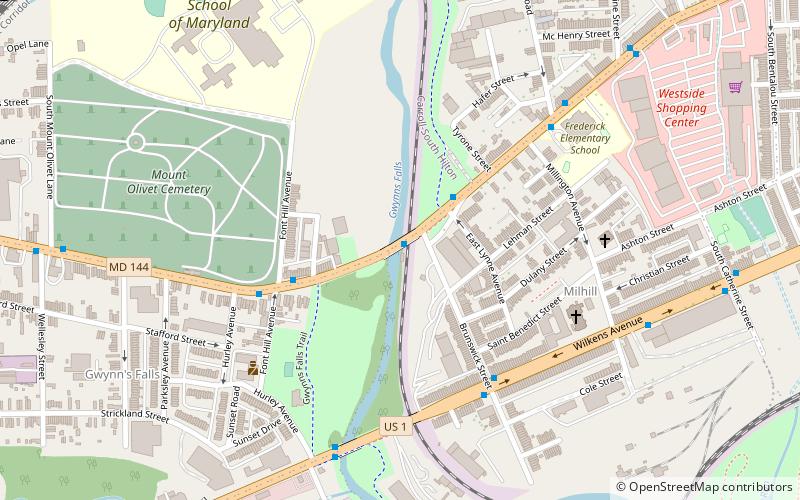
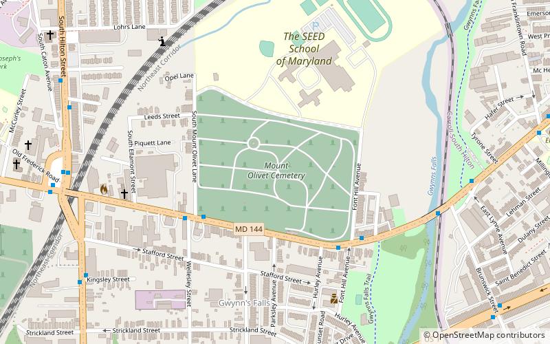
The Gwynns Falls Trail is a hidden gem for outdoor enthusiasts nestled within the urban landscape of Baltimore, United States. This scenic hiking trail offers a peaceful retreat from city life, stretching for approximately 15 miles through various parks and neighborhoods. It is a vital part of the city's green infrastructure, connecting over 30 neighborhoods and providing a unique way to explore the natural and historical aspects of Baltimore.
The trail traverses the Gwynns Falls stream valley and is named after the Gwynns Falls, a major stream in Baltimore that eventually flows into the Chesapeake Bay. Hikers, cyclists, and runners can enjoy the trail's diverse ecosystems, which include urban woodlands, stream environments, wetlands, meadows, and more. It serves not only as a recreational space but also as an outdoor classroom, highlighting the importance of environmental stewardship and conservation efforts within an urban setting.
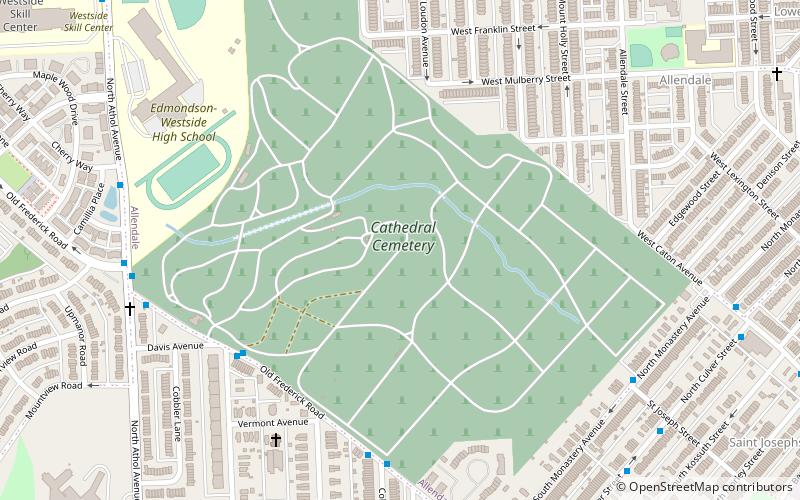
One of the trail's significant features is its historical markers and points of interest, including the historic Crimea Estate, the Leon Day Park, and the Carrie Murray Nature Center. These landmarks offer a glimpse into Baltimore's rich cultural and industrial heritage, making the trail a journey through time as well as nature.
The Gwynns Falls Trail is maintained through the collective efforts of the city of Baltimore, local organizations, and community volunteers, ensuring it remains a safe and enjoyable space for all visitors. It is accessible year-round, providing a serene escape where one can appreciate the changing seasons and the diverse wildlife that call this green corridor home.
- Bus
- Train
 Bus
Bus
- Calculate routeWest Baltimore 26 min walk
- Calculate routeWest Baltimore 26 min walk


Frequently Asked Questions (FAQ)
Which popular attractions are close to Gwynns Falls Trail?
How to get to Gwynns Falls Trail by public transport?
Train
- West Baltimore (26 min walk)
Bus
- West Baltimore • Lines: 77, 78, Or, Pk (26 min walk)