Brooklyn–Queens Greenway, New York City
Map

Gallery

Facts and practical information
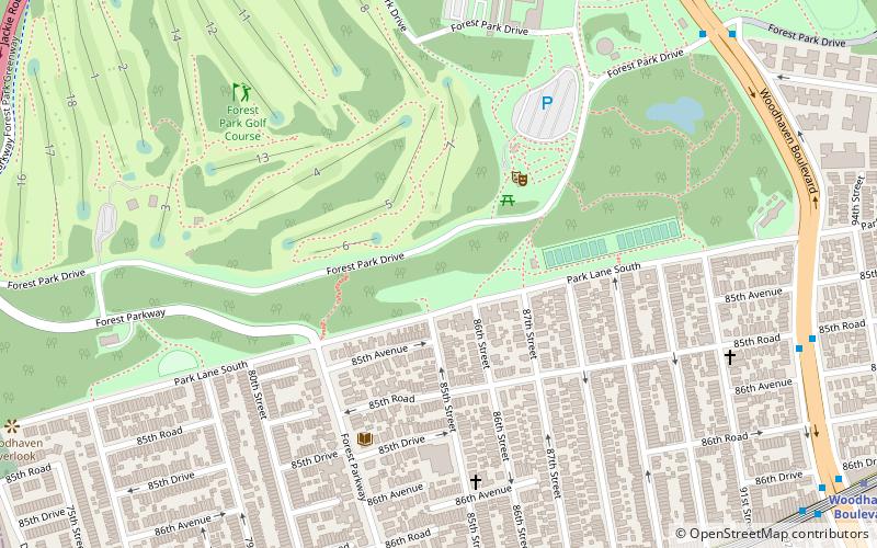
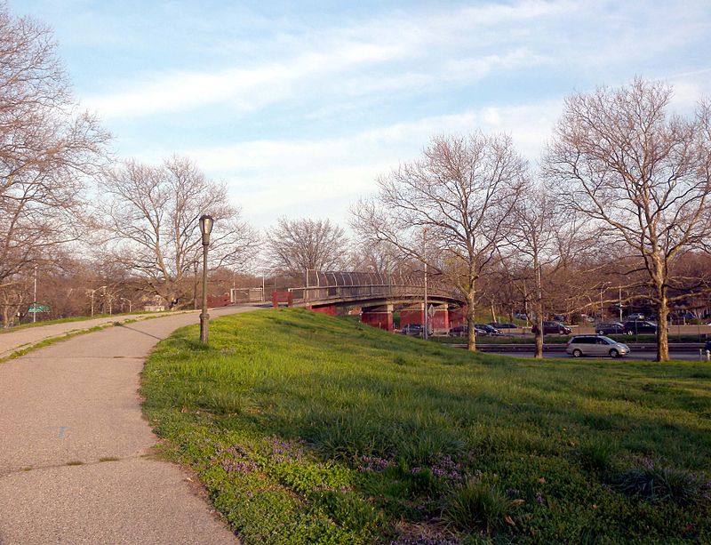
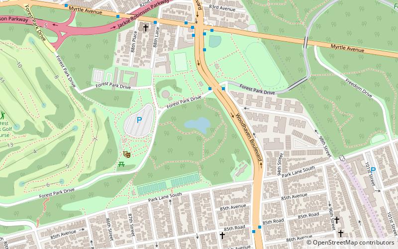
The Brooklyn–Queens Greenway is a bicycling and pedestrian path connecting parks and roads in the New York City boroughs of Brooklyn and Queens, connecting Coney Island in the south to Fort Totten in the north, on Long Island Sound. The route connects major sites in the two boroughs, such as the New York Aquarium, Brooklyn Museum, the Brooklyn Botanic Garden, the New York Hall of Science and Citi Field. ()
Coordinates: 40°41'49"N, 73°51'36"W
Address
Southwestern Queens (Forest Park)New York City
ContactAdd
Social media
Add
Day trips
Brooklyn–Queens Greenway – popular in the area (distance from the attraction)
Nearby attractions include: The Shops at Atlas Park, Forest Park, Strack Pond, Cypress Hills Cemetery.
Frequently Asked Questions (FAQ)
Which popular attractions are close to Brooklyn–Queens Greenway?
Nearby attractions include Strack Pond, New York City (8 min walk), Woodhaven, New York City (12 min walk), Forest Park, New York City (14 min walk), Wyckoff-Snediker Family Cemetery, New York City (15 min walk).
How to get to Brooklyn–Queens Greenway by public transport?
The nearest stations to Brooklyn–Queens Greenway:
Metro
Bus
Metro
- 85th Street–Forest Parkway • Lines: J (9 min walk)
- Woodhaven Boulevard • Lines: J, Z (13 min walk)
Bus
- Metropolitan Avenue & Selfridge Street • Lines: Q54 (26 min walk)
- 71st Avenue & Metropolitan Avenue • Lines: Q23 (27 min walk)

 Subway
 Manhattan Buses


