Cypress Hills Cemetery, New York City
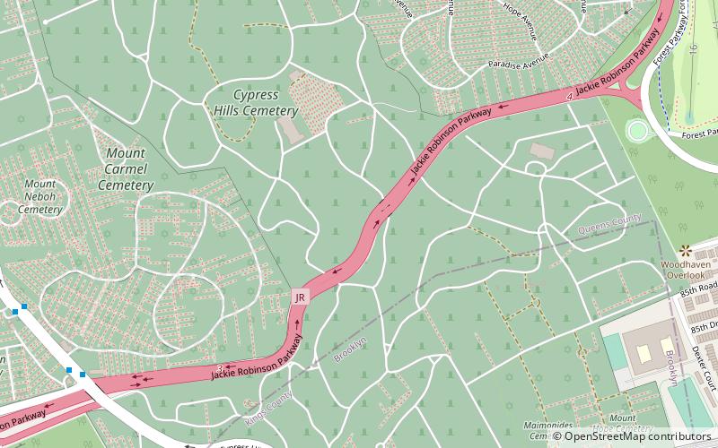
Map

Map

Facts and practical information
Cypress Hills Cemetery was the first non-sectarian/non-denominational cemetery corporation organized in the boroughs of Brooklyn and Queens in New York City. The cemetery is run as a non-profit organization and is located at 833 Jamaica Avenue in Brooklyn in the Cemetery Belt on the border of both boroughs, and its 225 acres are divided by the Jackie Robinson Parkway. Cypress Hills Cemetery retains its two primary entrances at Jamaica Avenue and Cooper Avenue. Cemetery of the Evergreens lies directly to the southwest. ()
Coordinates: 40°41'43"N, 73°52'34"W
Day trips
Cypress Hills Cemetery – popular in the area (distance from the attraction)
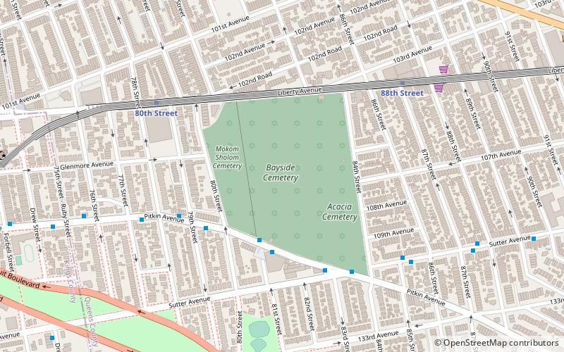
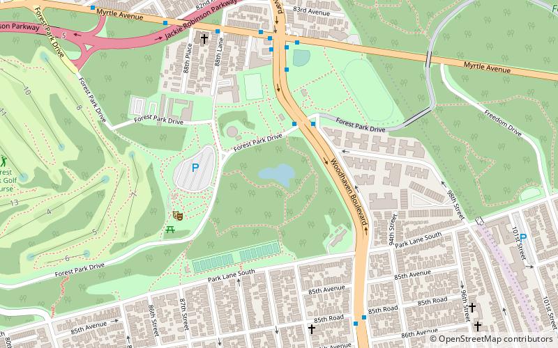
Nearby attractions include: The Shops at Atlas Park, All Faiths Cemetery, Forest Park, Bayside Cemetery.
Frequently Asked Questions (FAQ)
Which popular attractions are close to Cypress Hills Cemetery?
Nearby attractions include Beth Olam Cemetery, New York City (10 min walk), Salem Fields Cemetery, New York City (13 min walk), Cypress Hills National Cemetery, New York City (15 min walk), Ridgewood Reservoir, New York City (18 min walk).
How to get to Cypress Hills Cemetery by public transport?
The nearest stations to Cypress Hills Cemetery:
Metro
Bus
Metro
- Cypress Hills • Lines: J (11 min walk)
- 75th Street–Elderts Lane • Lines: J, Z (14 min walk)
Bus
- Fresh Pond Road & Myrtle Avenue • Lines: B13, B20 (27 min walk)
- Putnam Avenue & Fresh Pond Road • Lines: Q58 (35 min walk)

 Subway
 Manhattan Buses


