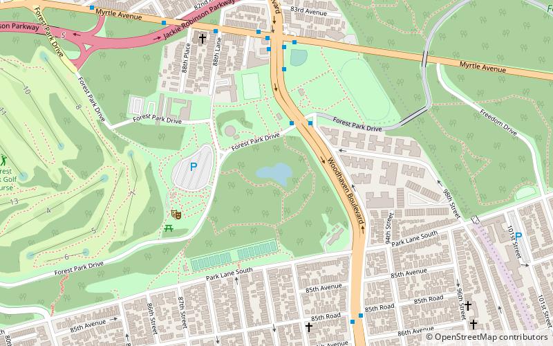
Strack Pond, New York City
Map
Facts and practical information
Strack Pond is a glacial kettle pond located inside Forest Park, Queens, New York City. The pond was buried in 1966 and restored four decades later. ()
Elevation: 105 ft a.s.l.Coordinates: 40°41'58"N, 73°51'19"W
Address
Southwestern Queens (Forest Park)New York City
ContactAdd
Social media
Add
Getting there by public transportation
Public transportation stops near this location
- Metro
- Bus
 Metro
Metro
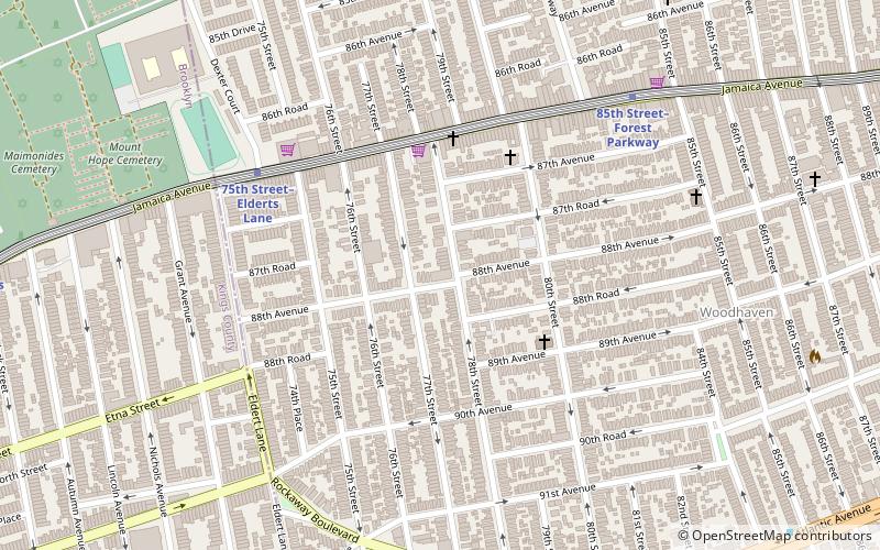
- Calculate routeWoodhaven Boulevard 11 min walk
- Calculate route85th Street–Forest Parkway 14 min walk
- Calculate route71st Avenue & Metropolitan Avenue 21 min walk
- Calculate routeMetropolitan Avenue & 71st Avenue 21 min walk
Maps SubwayMaps
 Manhattan Buses
SubwayMapsManhattan BusesDay trips


Frequently Asked Questions (FAQ)
Which popular attractions are close to Strack Pond?
Nearby attractions include Forest Park, New York City (7 min walk), Wyckoff-Snediker Family Cemetery, New York City (11 min walk), Woodhaven, New York City (12 min walk), Remsen Cemetery, New York City (23 min walk).
How to get to Strack Pond by public transport?
The nearest stations to Strack Pond:
Metro
Bus
Metro
- Woodhaven Boulevard • Lines: J, Z (11 min walk)
- 85th Street–Forest Parkway • Lines: J (14 min walk)
Bus
- 71st Avenue & Metropolitan Avenue • Lines: Q23 (21 min walk)
- Metropolitan Avenue & 71st Avenue • Lines: Q54 (21 min walk)