Timberline Trail, Mount Hood Wilderness
#2 among attractions in Mount Hood Wilderness


Facts and practical information
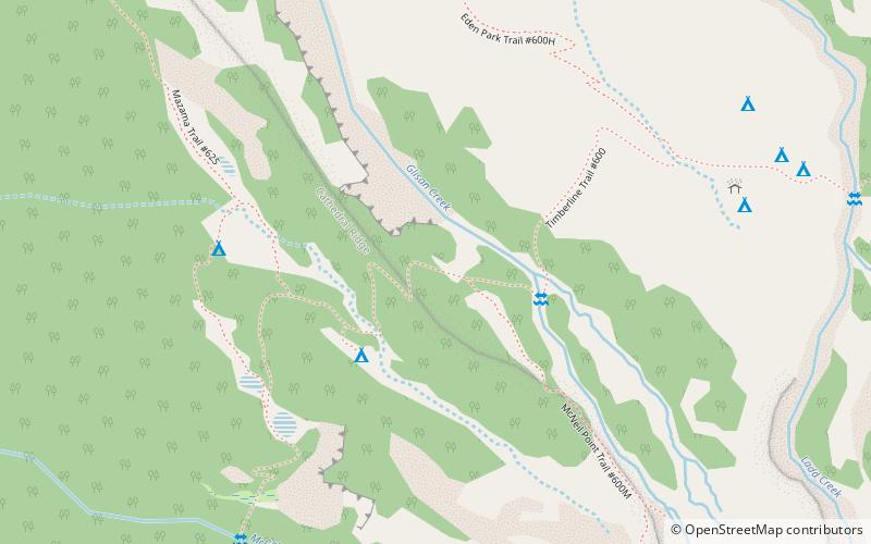
Timberline Trail is a hiking trail around Mount Hood in the U.S. state of Oregon. It is mostly in wilderness but also goes near Timberline Lodge, Cloud Cap Inn, and Mount Hood Meadows ski area. ()
Mount Hood Wilderness United States
Timberline Trail – popular in the area (distance from the attraction)
Nearby attractions include: Ramona Falls, Wallalute Falls, Coalman Glacier, Little Zigzag River.
 Natural attraction, Waterfall
Ramona Falls, Mount Hood
71 min walk • Ramona Falls is a waterfall on the upper Sandy River on the west side of Mount Hood, Oregon, United States. It is located in forest along the Pacific Crest Trail at an elevation of 3,560 feet.
 Nature, Natural attraction, Waterfall
Wallalute Falls, Mount Hood Wilderness
92 min walk • Wallalute Falls is a large waterfall located on Compass Creek on the north slopes of Mount Hood in the Hood River County, Oregon, at an elevation of 4,879 feet.
 Nature, Natural attraction, Natural feature
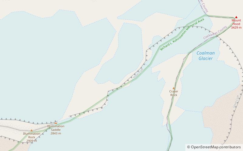
Coalman Glacier, Mount Hood Wilderness
67 min walk • The Coalman Glacier is a glacier located on the upper slopes of Mount Hood in the U.S. state of Oregon. It is the mountain's highest glacier ranging from about 11,200 to 10,500 ft, located within the crater rim, southwest of the peak.
 Nature, Natural attraction, Waterfall
Little Zigzag River, Mount Hood Wilderness
98 min walk • The Little Zigzag River is a tributary, about 5 miles long, of the Zigzag River in the U.S. state of Oregon. The Zigzag and Little Zigzag drain the Zigzag Glacier on Mount Hood, a high volcanic peak in the Cascade Range.
 Nature, Natural attraction, Natural feature
Palmer Glacier, Mount Hood National Forest
88 min walk • Palmer Glacier is a glacier on the south slopes of Mount Hood in the U.S. state of Oregon. The glacier is situated at an elevation range of 9,300 to 6,200 feet, and was named for Joel Palmer, an Oregon pioneer.
 Nature, Natural attraction, Natural feature
White River Glacier, Mount Hood Wilderness
87 min walk • White River Glacier is an alpine glacier located on the south slopes of Mount Hood in the U.S. state of Oregon. It ranges in elevation from about 10,000 to 6,200 feet.
 Nature, Natural attraction, Natural feature
Sandy Glacier, Mount Hood Wilderness
43 min walk • Sandy Glacier is an alpine glacier located on the west slope of Mount Hood in the U.S. state of Oregon. It extends in elevation from about 8,800 to 6,000 feet. The glacier is the source of Muddy Fork, a tributary of the Sandy River. The upper extent of the glacier is known for extensive crevasses.
 Nature, Natural attraction, Natural feature
Reid Glacier, Mount Hood Wilderness
57 min walk • Reid Glacier is an alpine glacier located on the west slope of Mount Hood in the U.S. state of Oregon. It ranges in elevation from about 9,800 to 6,000 feet. The glacier is the source of the Sandy River. The upper extent of the glacier is known for extensive crevasses.
 Nature, Natural attraction, Natural feature
Ladd Glacier, Mount Hood Wilderness
39 min walk • Ladd Glacier is an alpine glacier on the north slope of Mount Hood in the U.S. state of Oregon. It lies at an average elevation of 7,500 feet. The glacier lies entirely within Mount Hood Wilderness.
 Nature, Natural attraction, Forest
Bull Run National Forest, Mount Hood Wilderness
65 min walk • Bull Run National Forest was established as the Bull Run Forest Reserve by the General Land Office in Oregon on June 17, 1892, with 142,080 acres. After the transfer of federal forests to the U.S. Forest Service in 1905, it became a National Forest on March 4, 1907.
 Nature, Natural attraction, Natural feature
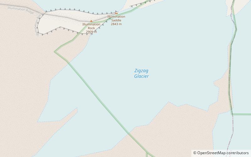
Zigzag Glacier, Mount Hood Wilderness
72 min walk • Zigzag Glacier is an alpine glacier located on the upper southwest slopes of Mount Hood in the U.S. state of Oregon. It ranges in elevation from 10,200 to 7,200 feet with fingers in canyons extending to about 6,400 feet, and lies almost entirely within Mount Hood Wilderness.
