Sellwood-Moreland, Portland
Map

Map

Facts and practical information
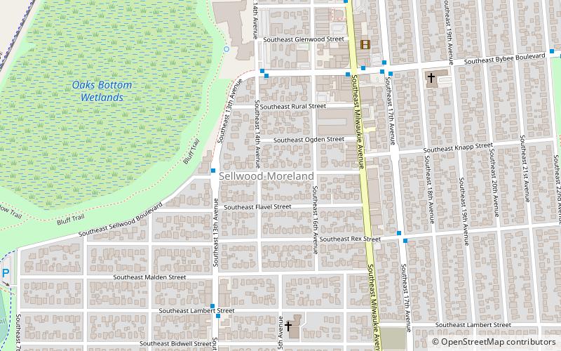
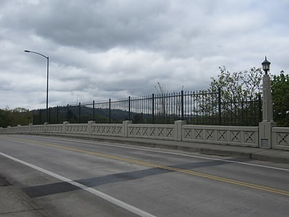
Sellwood-Moreland is a neighborhood on a bluff overlooking the Willamette River in Southeast Portland, Oregon, bordering Brooklyn to the north, Eastmoreland to the east, and the city of Milwaukie to the south. The neighborhood is linked to Southwest Portland across the Willamette River by the Sellwood Bridge, the southernmost of Portland's bridges. ()
Coordinates: 45°28'17"N, 122°39'4"W
Day trips
Sellwood-Moreland – popular in the area (distance from the attraction)
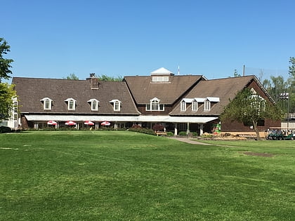
Nearby attractions include: Oaks Amusement Park, Eastmoreland Golf Course, Puppet Museum, Herschell–Spillman Noah's Ark Carousel.
Frequently Asked Questions (FAQ)
Which popular attractions are close to Sellwood-Moreland?
Nearby attractions include Wilhelm's Portland Memorial Funeral Home, Portland (6 min walk), Moreland Theater, Portland (7 min walk), Sellwood-Moreland Library, Portland (8 min walk), Oaks Bottom Wildlife Refuge, Portland (10 min walk).
How to get to Sellwood-Moreland by public transport?
The nearest stations to Sellwood-Moreland:
Bus
Train
Light rail
Bus
- Southeast 13th & Knapp • Lines: 70 (3 min walk)
- Southeast Bybee & Milwaukie • Lines: 19, 70 (5 min walk)
Train
- Oaks Park (13 min walk)
Light rail
- Southeast Bybee Boulevard • Lines: Orange (15 min walk)


