Nob Hill, San Francisco

Gallery (17)
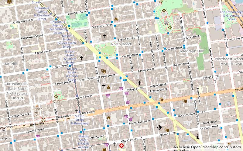
Map

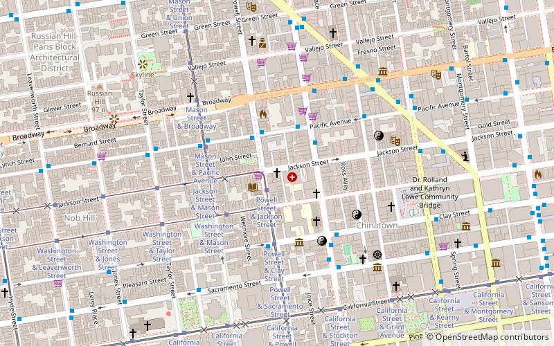
Map

Gallery
Facts and practical information
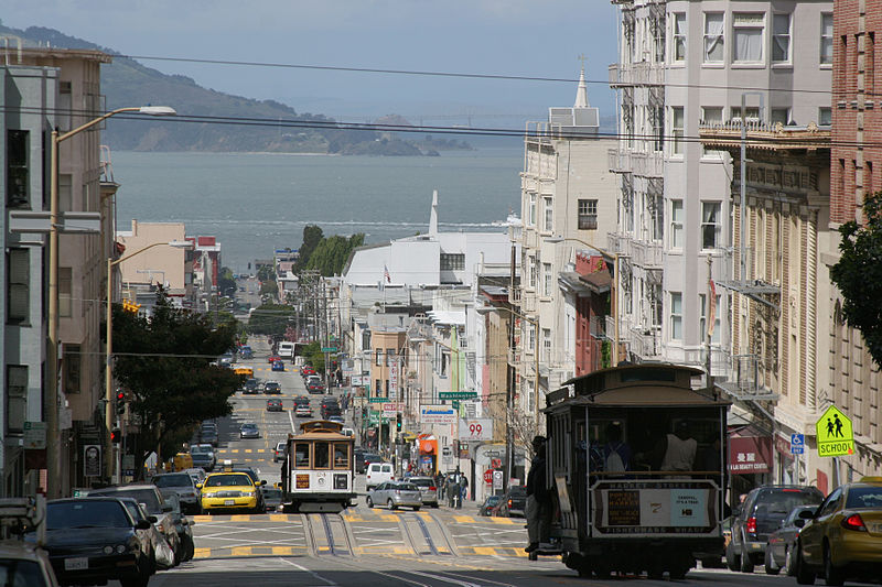
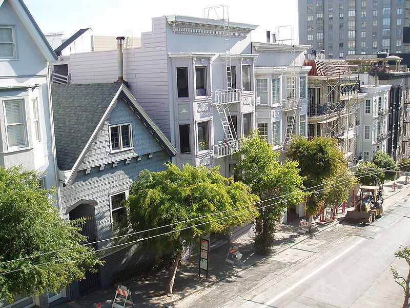
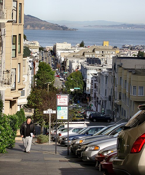
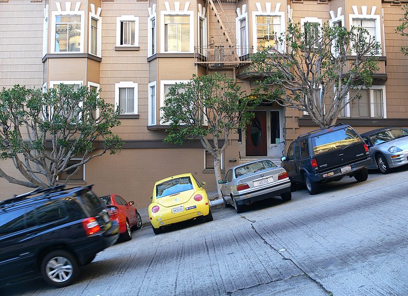
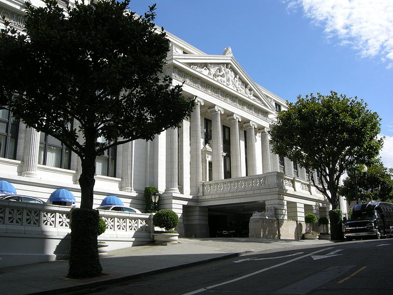
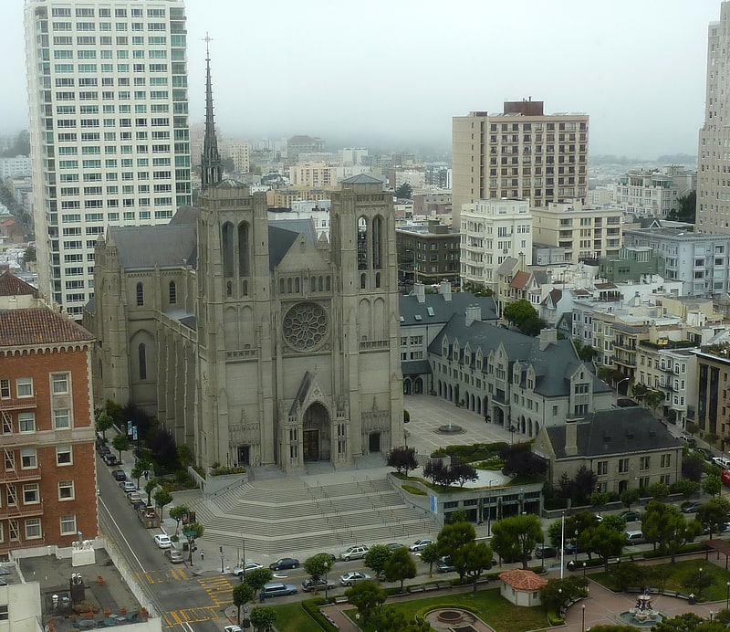
Nob Hill is a neighborhood of San Francisco, California that is known for its numerous luxury hotels and historic mansions. Nob Hill has historically served as a center of San Francisco's upper class. Nob Hill is among the highest-income neighborhoods in the United States, as well as one of the most desirable and expensive real estate markets in the country. ()
Getting there by public transportation
Public transportation stops near this location
- Metro
- Bus
- Trolleybus
- Tram
- Light rail
- Ferry
 Metro
Metro
- Calculate routeLeavenworth Street & Jackson Street 1 min walk
- Calculate routePacific Avenue & Leavenworth Street 3 min walk
- Calculate routeJackson Street & Leavenworth Street 1 min walk
- Calculate routeWashington Street & Leavenworth Street 2 min walk
- Calculate routeJackson Street & Jones Street 2 min walk
- Calculate routeWashington Street & Jones Street 2 min walk
- Calculate routeClay Street & Leavenworth Street 3 min walk
- Calculate routeSacramento Street & Leavenworth Street 5 min walk
- Calculate routePowell Street 22 min walk
- Calculate routeMontgomery Street 23 min walk
- Calculate routeCivic Center 27 min walk
- Calculate routePowell Street 22 min walk
- Calculate routeMontgomery Street 23 min walk
- Calculate routeCivic Center 27 min walk
- Calculate routeEmbarcadero 27 min walk
- Calculate routePier 41 Gate 1 27 min walk
- Calculate routePier 41 Gate 2 27 min walk
Maps Muni Metro
Muni MetroDay trips


Frequently Asked Questions (FAQ)
Which popular attractions are close to Nob Hill?
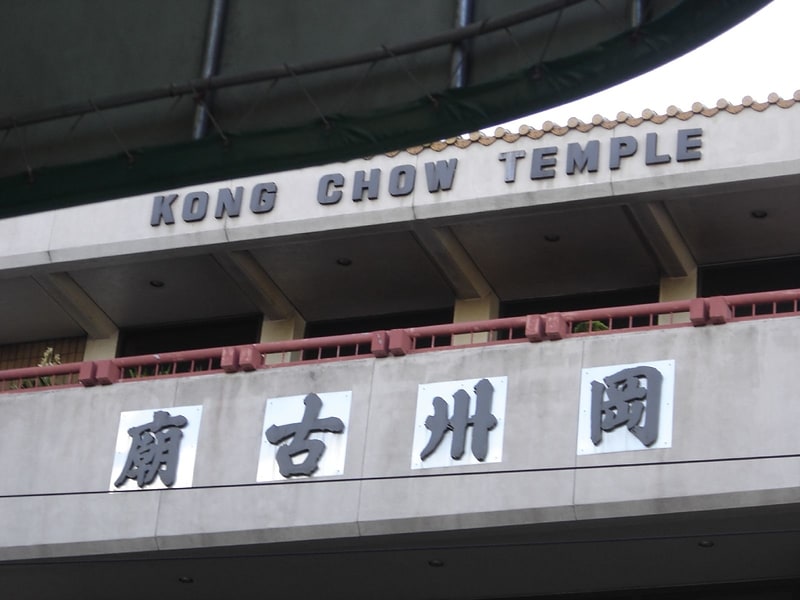
Nearby attractions include Broadway Tunnel, San Francisco (5 min walk), Cable Car Museum, San Francisco (6 min walk), Grace Cathedral, San Francisco (6 min walk), Feusier Octagon House, San Francisco (7 min walk).
How to get to Nob Hill by public transport?
The nearest stations to Nob Hill:
Bus
Tram
Trolleybus
Metro
Light rail
Ferry
Bus
- Leavenworth Street & Jackson Street • Lines: 27 (1 min walk)
- Pacific Avenue & Leavenworth Street • Lines: 12 (3 min walk)
Tram
- Jackson Street & Leavenworth Street (1 min walk)
- Washington Street & Leavenworth Street (2 min walk)
Trolleybus
- Clay Street & Leavenworth Street • Lines: 1 (3 min walk)
- Sacramento Street & Leavenworth Street • Lines: 1 (5 min walk)
Metro
- Powell Street • Lines: Blue, Green, Red, Yellow (22 min walk)
- Montgomery Street • Lines: Blue, Green, Red, Yellow (23 min walk)
Light rail
- Powell Street • Lines: K, N, S, T (22 min walk)
- Montgomery Street • Lines: K, N, S, T (23 min walk)
Ferry
- Pier 41 Gate 1 • Lines: Blue & Gold Fleet (27 min walk)
- Pier 41 Gate 2 • Lines: Blue & Gold Fleet, San Francisco Bay Ferry (27 min walk)