Temple Emanuel, Denver
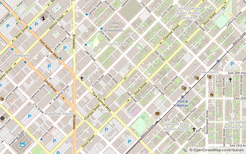
Map

Map

Facts and practical information
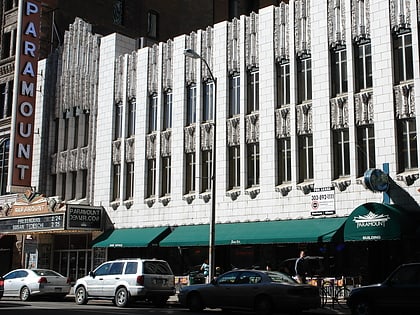
The Temple Emanuel in Denver, Colorado, also known as Congregation Emanuel, is a Reform Jewish synagogue. It was the first synagogue established in Colorado. There are historic buildings of the temple on Curtis Street, Grape Street, and Pearl Street, in Denver. ()
Built: 1882 (144 years ago)Coordinates: 39°45'16"N, 104°59'2"W
Address
North Denver (Five Points)Denver
ContactAdd
Social media
Add
Day trips
Temple Emanuel – popular in the area (distance from the attraction)
Nearby attractions include: Coors Field, 16th Street Mall, Denver Dry Goods Company Building, Holy Ghost Catholic Church.
Frequently Asked Questions (FAQ)
Which popular attractions are close to Temple Emanuel?
Nearby attractions include Blair-Caldwell African American Research Library, Denver (5 min walk), St. Andrew's Episcopal Church, Denver (11 min walk), Our Mutual Friend Brewery, Denver (12 min walk), Tri-State Denver Buddhist Temple, Denver (12 min walk).
How to get to Temple Emanuel by public transport?
The nearest stations to Temple Emanuel:
Bus
Light rail
Train
Bus
- Broadway & Curtis Street • Lines: 8 (6 min walk)
- Park Avenue West & Lawrence Street • Lines: 8 (7 min walk)
Light rail
- 25th & Welton • Lines: L (6 min walk)
- 27th & Welton • Lines: L (10 min walk)
Train
- Union Station (23 min walk)
- 38th & Blake (33 min walk)


