East Molokai Volcano, Molokai

Gallery (1)
Map
Map
Facts and practical information
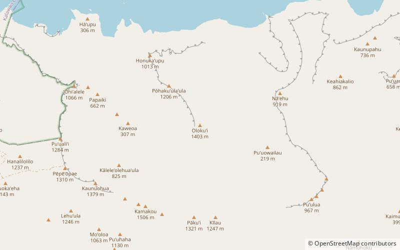
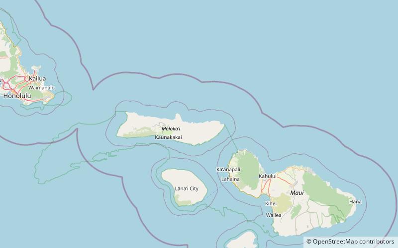
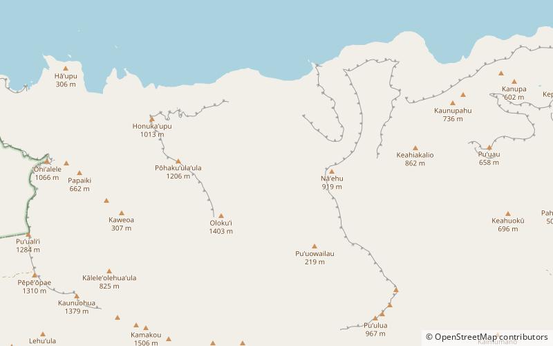
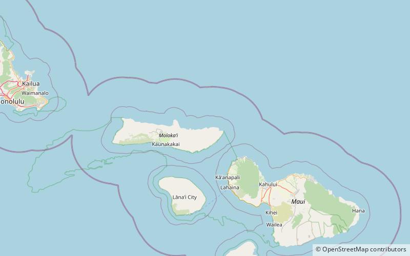
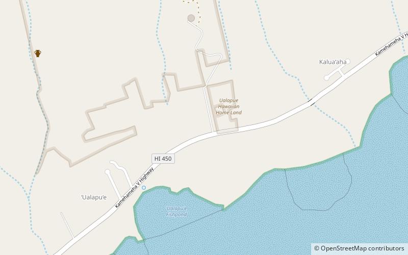
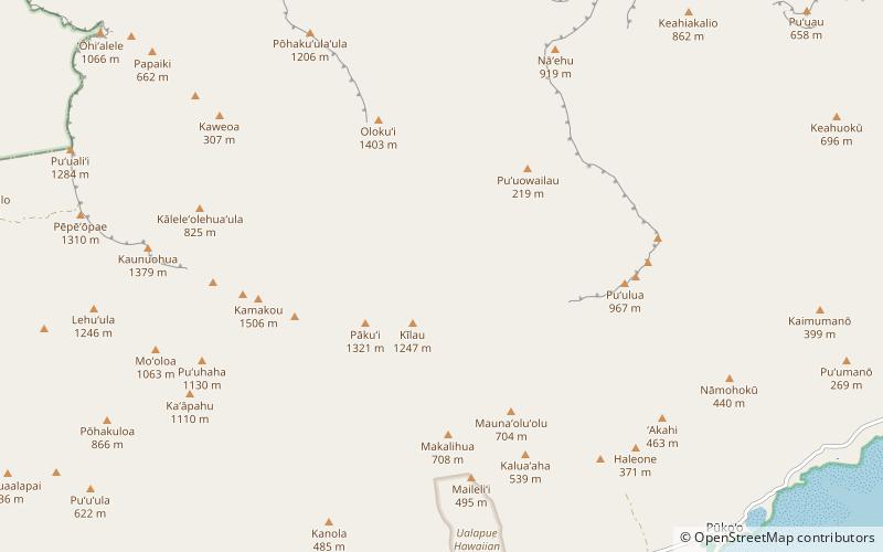
The East Molokai Volcano, sometimes also known as Wailau for the Wailau valley on its north side, is an extinct shield volcano comprising the eastern two-thirds of the island of Molokaʻi in the U.S. state of Hawaii. ()
Elevation: 4961 ftCoordinates: 21°6'36"N, 156°50'24"W
Address
MolokaiMolokai
ContactAdd
Social media
Add
Day trips