Hokukano-Ualapue Complex, Molokai

Map
Facts and practical information
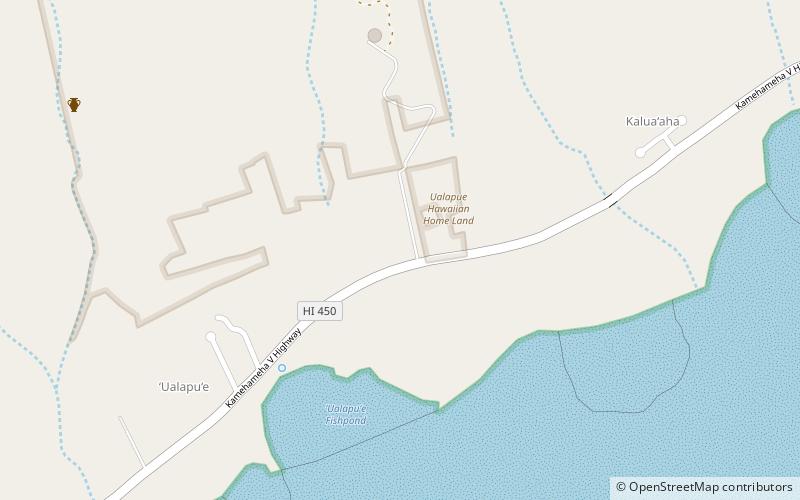
The Hokukano-Ualapue Complex is a National Historic Landmarked pre-contact archaeological site on several properties adjacent to Hawaii Route 450 in Ualapue, on Molokaʻi island. The complex includes six heiaus and two fishponds. The complex is one of the most important collections of native Hawaiian sites in Hawaiʻi. It was designated a National Historic Landmark in 1962 and added to the National Register of Historic Places on October 15, 1966. ()
Coordinates: 21°3'45"N, 156°49'48"W
Address
Molokai (`Ualapu`e Ahupua`a)Molokai
ContactAdd
Social media
Add
Day trips
Hokukano-Ualapue Complex – popular in the area (distance from the attraction)
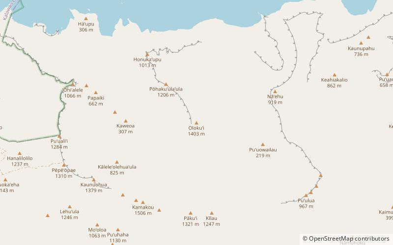
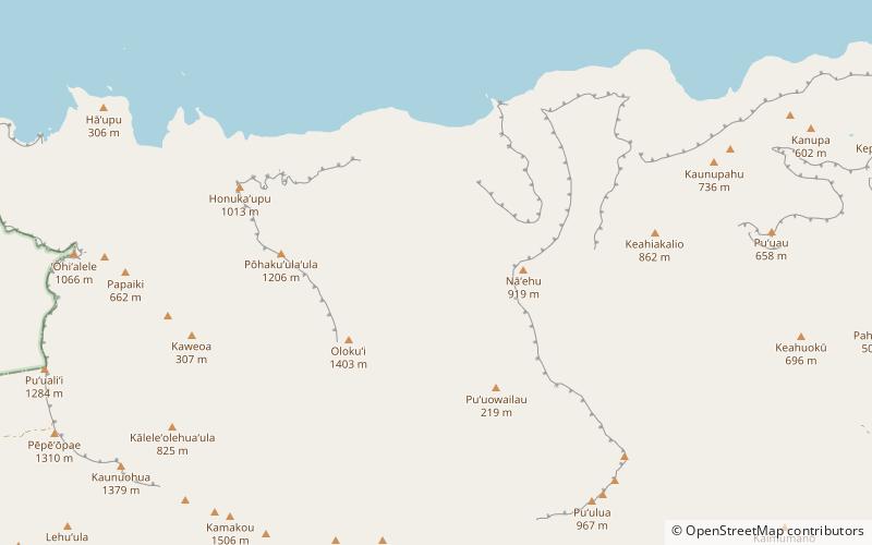
Nearby attractions include: Olokui, Kamakou, Pepeopae, East Molokai Volcano.


