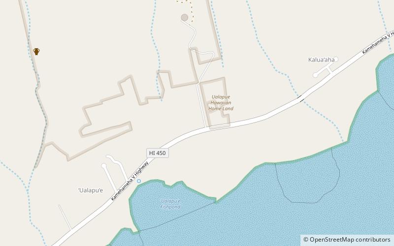
Kamakou, Molokai
Map
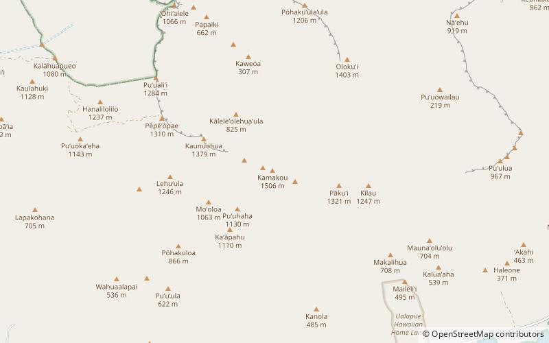
Map

Facts and practical information
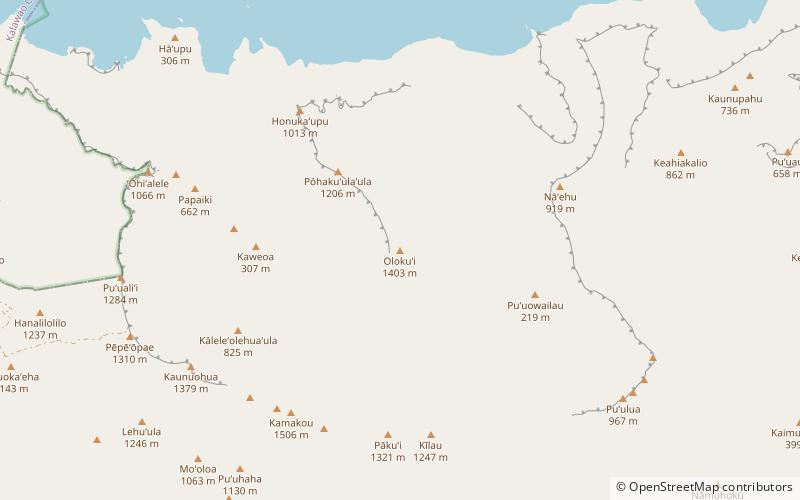
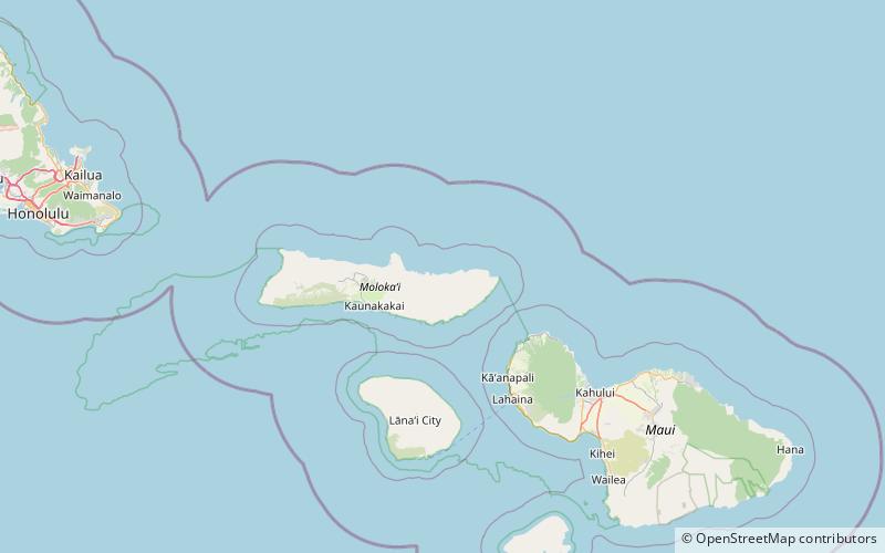
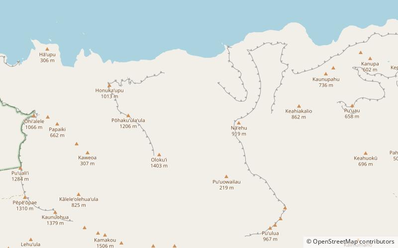
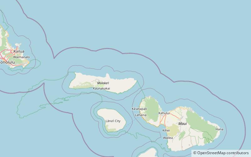
Kamakou is the highest peak on the island of Molokai, at 4,961 feet. It is part of the extinct East Molokai shield volcano, which comprises the east side of the island. Kamakou is located within the 2,774 acres Molokai Forest Reserve, estimated to contain more than 250 rare native Hawaiian plants, many of which exist only in this part of the world. Rare birds can also be found, with two examples being the olomaʻo and kākāwahie. Monthly tours are held by The Nature Conservancy. ()
Elevation: 4961 ftProminence: 4961 ftCoordinates: 21°6'23"N, 156°52'5"W
Address
MolokaiMolokai
ContactAdd
Social media
Add
Day trips
Kamakou – popular in the area (distance from the attraction)
Nearby attractions include: Olokui, Oloʻupena Falls, Pepeopae, East Molokai Volcano.

