Bridlemile, Portland

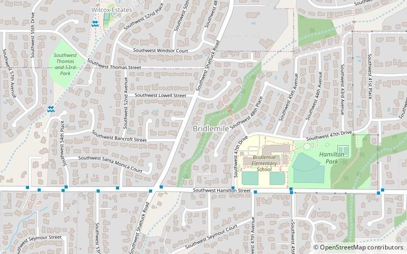
Map
Facts and practical information
Bridlemile is a Southwest Portland, Oregon neighborhood in the West Hills. The Portland city boundary runs through the neighborhood such that the southern part of the neighborhood is within Portland proper, but the northern portion is unincorporated Multnomah County. The portion within Portland city limits extends into Washington County in two places. ()
Coordinates: 45°29'33"N, 122°43'37"W
Day trips
Bridlemile – popular in the area (distance from the attraction)
Nearby attractions include: Oregon Zoo, Washington Park and Zoo Railway, Portland Children's Museum, Council Crest Park.
Frequently Asked Questions (FAQ)
Which popular attractions are close to Bridlemile?
Nearby attractions include Hayhurst, Portland (20 min walk), Roy and Leola Gangware House, Portland (22 min walk), Ernest Haycox Estate, Portland (22 min walk).
How to get to Bridlemile by public transport?
The nearest stations to Bridlemile:
Bus
Bus
- Southwest Hamilton & 47th Drive • Lines: 55 (4 min walk)


