40-Mile Loop, Portland
Map
Gallery
Facts and practical information
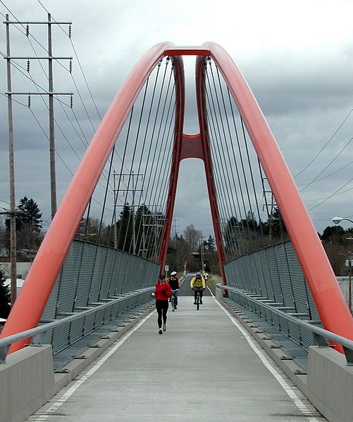
The 40-Mile Loop is a partially completed greenway trail around and through Portland in the U.S. state of Oregon. It was proposed in 1903 by the Olmsted Brothers architecture firm as part of the development of Forest Park. One greenway expert calls it "one of the most creative and resourceful greenway projects in the country." ()
Coordinates: 45°28'44"N, 122°43'16"W
Address
Lair Hill (Hayhurst)Portland
ContactAdd
Social media
Add
Day trips
40-Mile Loop – popular in the area (distance from the attraction)
Nearby attractions include: Gabriel Park, Congregation Neveh Shalom, Multnomah, Healy Heights.
Frequently Asked Questions (FAQ)
Which popular attractions are close to 40-Mile Loop?
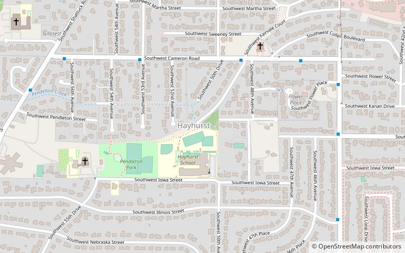
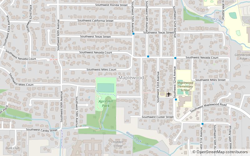
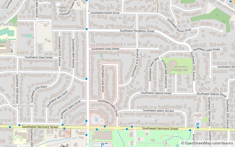
Nearby attractions include Gabriel Park, Portland (11 min walk), Hayhurst, Portland (11 min walk), Congregation Neveh Shalom, Portland (21 min walk), Maplewood, Portland (21 min walk).
How to get to 40-Mile Loop by public transport?
The nearest stations to 40-Mile Loop:
Bus
Bus
- Southwest 45th & Illinois • Lines: 1 (3 min walk)


