Centennial, Portland

Map
Facts and practical information
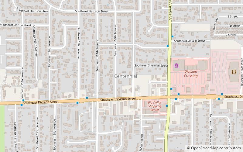
Centennial is a neighborhood on the eastern edge of the Southeast section of Portland, Oregon, on the border with Gresham. The neighborhood includes Lynchwood Park and Parklane Park. ()
Coordinates: 45°30'20"N, 122°30'0"W
Day trips
Centennial – popular in the area (distance from the attraction)
Nearby attractions include: Powell Butte, Mall 205, Fubonn Shopping Center, Leach Botanical Garden.
Frequently Asked Questions (FAQ)
How to get to Centennial by public transport?
The nearest stations to Centennial:
Bus
Light rail
Bus
- Southeast Division & 156th • Lines: 2 (5 min walk)
- Southeast 162nd & Division • Lines: 74 (5 min walk)
Light rail
- East 162nd Avenue • Lines: Blue (30 min walk)
- East 148th Avenue • Lines: Blue (33 min walk)


