Cedar Crossing Bridge, Portland
Map

Map

Facts and practical information
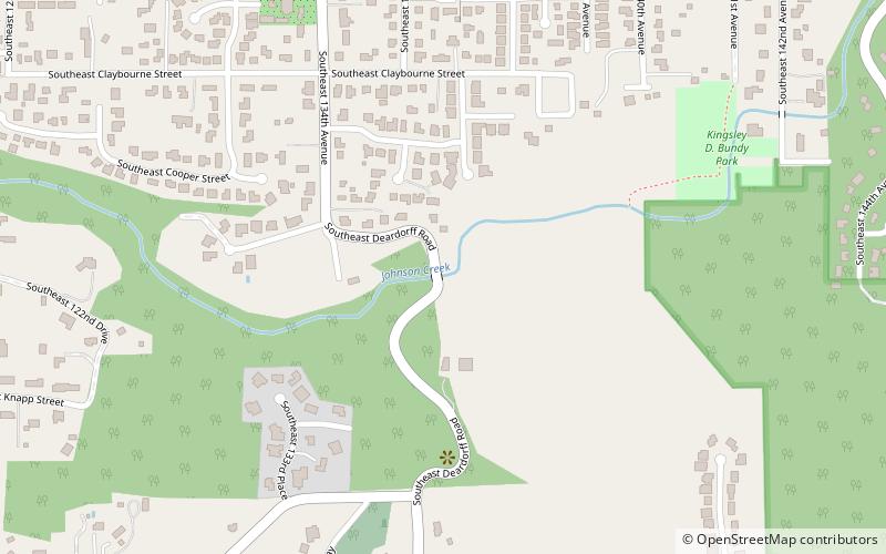
Cedar Crossing Bridge is a covered bridge in southeast Portland in the U.S. state of Oregon. Built in 1982, it carries Deardorff Road over Johnson Creek. The Oregon Department of Transportation notes that the bridge, even though it is covered, is "not a true covered bridge" because it does not use a timber truss for support. ()
Coordinates: 45°28'19"N, 122°31'25"W
Address
East Portland (Pleasant Valley)Portland
ContactAdd
Social media
Add
Day trips
Cedar Crossing Bridge – popular in the area (distance from the attraction)
Nearby attractions include: Powell Butte, Leach Botanical Garden, Willamette National Cemetery, Clatsop Butte.
Frequently Asked Questions (FAQ)
How to get to Cedar Crossing Bridge by public transport?
The nearest stations to Cedar Crossing Bridge:
Bus
Bus
- Southeast 136th & Foster • Lines: 10 (9 min walk)
- 13100 Block Southeast Foster • Lines: 10 (11 min walk)


