Clayton, Denver
Map
Facts and practical information
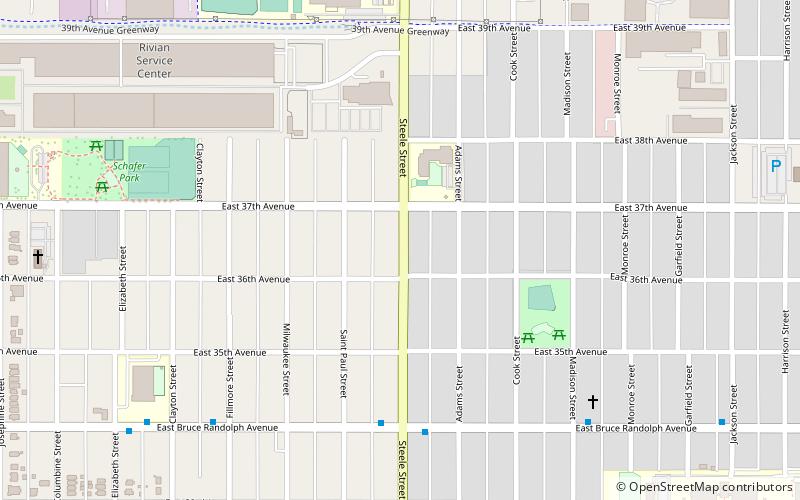
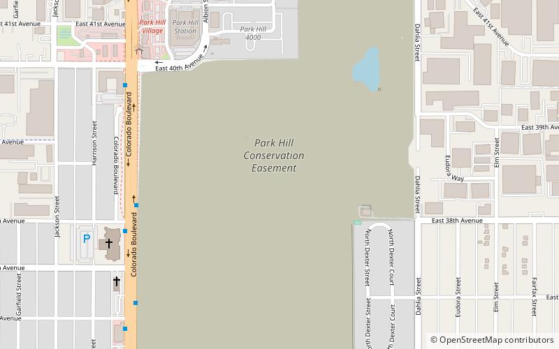
Clayton is a neighborhood located in the city and county Denver, Colorado. Often confused with Park Hill, Cole, or the City Park neighborhoods, Clayton is a distinct neighborhood as defined by the city of Denver. The neighborhood is named for the historical former George W. Clayton Trust and College located on the northwest corner of Martin Luther King Blvd. and Colorado Blvd. This college has been listed on the National Register of Historic Places. ()
Coordinates: 39°46'3"N, 104°56'60"W
Address
North Denver (Clayton)Denver
ContactAdd
Social media
Add
Getting there by public transportation
Public transportation stops near this location
- Bus
- Train
 Bus
Bus
- Calculate routeColorado Blvd & E Martin Luther King Jr Blvd 16 min walk
- Calculate routeColorado Boulevard & East 40th Avenue 16 min walk
- Calculate routeMLK Blvd & Gilpin St 25 min walk
- Calculate route40th & Colorado 19 min walk
Day trips


Frequently Asked Questions (FAQ)
Which popular attractions are close to Clayton?
Nearby attractions include Orgyen Khamdroling, Denver (13 min walk), Cole, Denver (22 min walk).
How to get to Clayton by public transport?
The nearest stations to Clayton:
Bus
Train
Bus
- Colorado Blvd & E Martin Luther King Jr Blvd • Lines: 40 (16 min walk)
- Colorado Boulevard & East 40th Avenue • Lines: 37, 40, 44 (16 min walk)
Train
- 40th & Colorado (19 min walk)