Denver Coliseum, Denver
Map

Map

Facts and practical information
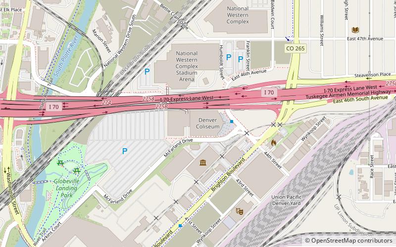
Denver Coliseum is an indoor arena, owned by the City and County of Denver, operated by its Arts and Venues division and located in Denver, Colorado. The arena holds 10,200 people and was built from 1949 to 1951. The coliseum is located in Denver's Elyria-Swansea neighborhood. It sits where the Denver Pacific Railway broke ground on its Cheyenne line in 1868. ()
Opened: 1951 (75 years ago)Coordinates: 39°46'45"N, 104°58'16"W
Day trips
Denver Coliseum – popular in the area (distance from the attraction)
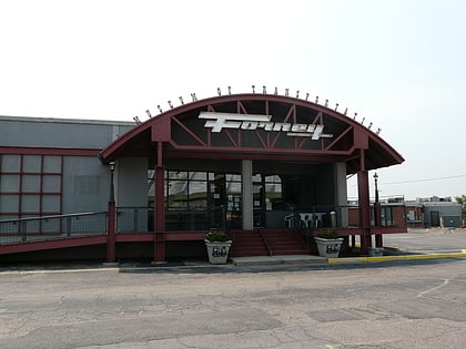
Nearby attractions include: Forney Museum of Transportation, Riverside Cemetery, Mission Ballroom, Annunciation Roman Catholic Church.
Frequently Asked Questions (FAQ)
Which popular attractions are close to Denver Coliseum?
Nearby attractions include Forney Museum of Transportation, Denver (3 min walk), Mission Ballroom, Denver (6 min walk), St. Joseph's Polish Roman Catholic Church, Denver (14 min walk), Elyria-Swansea, Denver (19 min walk).
How to get to Denver Coliseum by public transport?
The nearest stations to Denver Coliseum:
Train
Bus
Train
- 48th & Brighton at National Western Center (11 min walk)
- 38th & Blake (16 min walk)
Bus
- Lincoln Street & East 46th Avenue • Lines: 8 (21 min walk)
- East 45th Avenue & Leaf Court • Lines: 8 (22 min walk)


