Cole, Denver
Map

Map

Facts and practical information
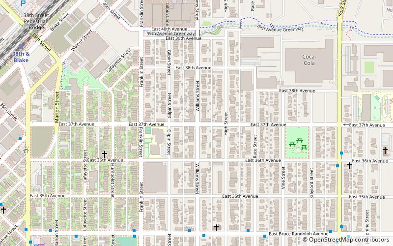
Cole is a neighborhood of Denver, Colorado. It is in the area commonly known as North Denver. According to the Piton Foundation in 2007 the population of the neighborhood was 6,041, and there were 1,794 housing units. At the time of the 2010 census, the racial breakdown of the neighborhood was 19.59% non-Hispanic white, 16.7% African American, 61.21% Hispanic or Latino, 0.43% Native American, and 0.45% Asian. ()
Coordinates: 39°46'6"N, 104°57'58"W
Address
North Denver (Cole)Denver
ContactAdd
Social media
Add
Day trips
Cole – popular in the area (distance from the attraction)
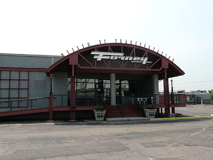
Nearby attractions include: City Park Golf, Denver Coliseum, Forney Museum of Transportation, Mission Ballroom.
Frequently Asked Questions (FAQ)
Which popular attractions are close to Cole?
Nearby attractions include Annunciation Roman Catholic Church, Denver (6 min walk), Orgyen Khamdroling, Denver (14 min walk), Mission Ballroom, Denver (15 min walk), Denver Headshots by Tommy Collier Productions, Denver (16 min walk).
How to get to Cole by public transport?
The nearest stations to Cole:
Bus
Train
Light rail
Bus
- MLK Blvd & Gilpin St • Lines: 43 (11 min walk)
- 30th & Downing • Lines: 34 (20 min walk)
Train
- 38th & Blake (12 min walk)
- 48th & Brighton at National Western Center (30 min walk)
Light rail
- 30th & Downing • Lines: L (20 min walk)
- 27th & Welton • Lines: L (28 min walk)


