Essex Crossing, New York City
Map

Gallery
Facts and practical information
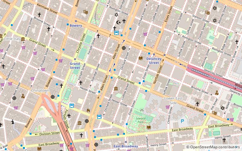
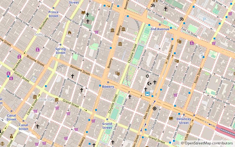
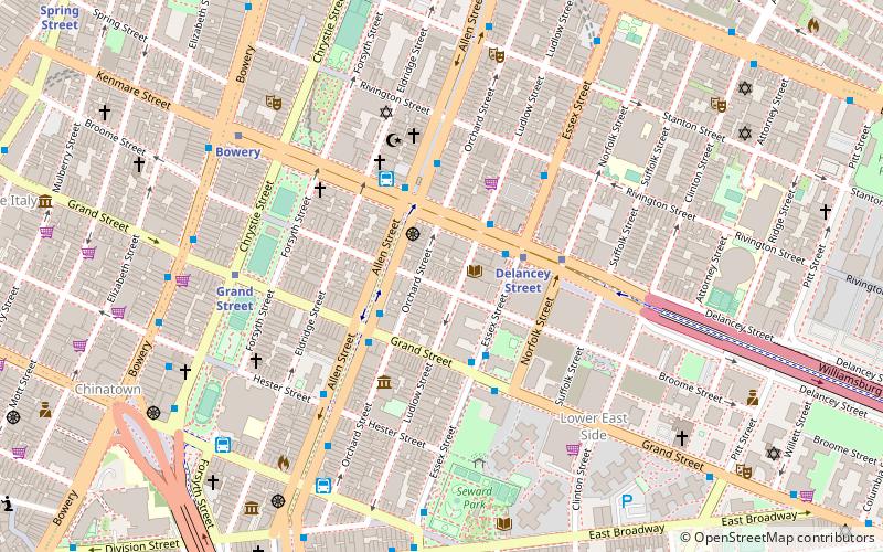
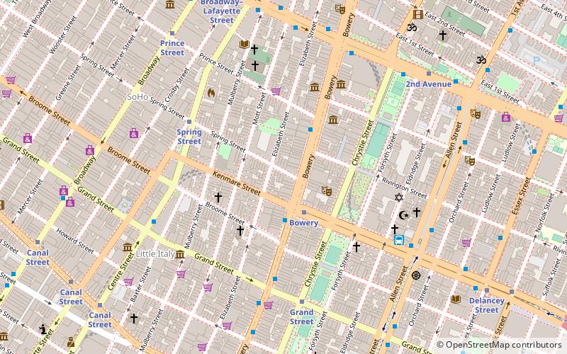
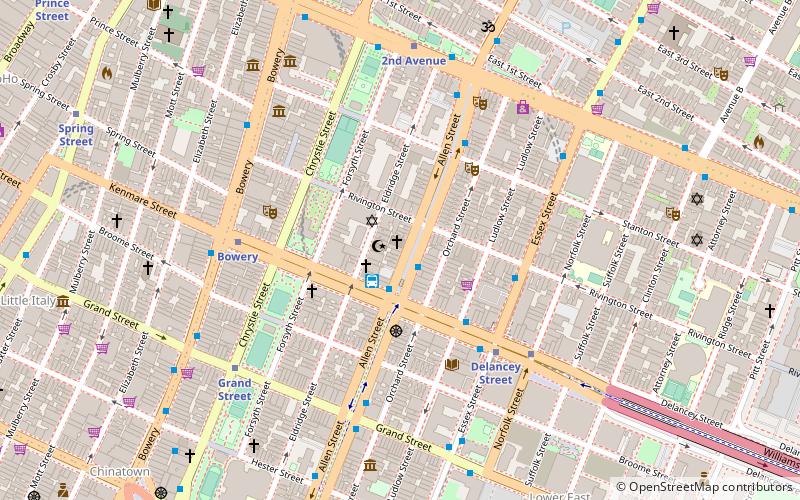
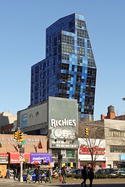
Essex Crossing is an under-construction mixed-use development in New York City's Lower East Side, part of the existing area known as the Seward Park Urban Renewal Area. The development, at the intersection of Delancey Street and Essex Street just north of Seward Park, will comprise nearly 2,000,000 square feet of space on 6 acres. The development will cost an estimated US$1.1 billion. It will sit on a total of nine city blocks, most of them occupied by parking lots that replaced tenements razed in 1967. ()
Coordinates: 40°43'8"N, 73°59'35"W
Day trips
Essex Crossing – popular in the area (distance from the attraction)
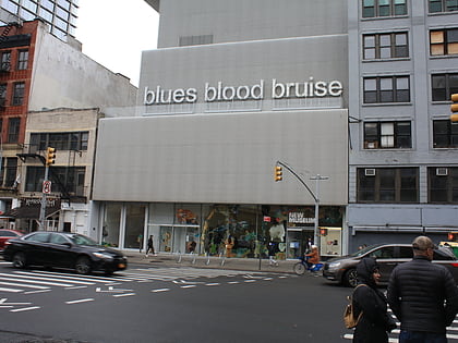
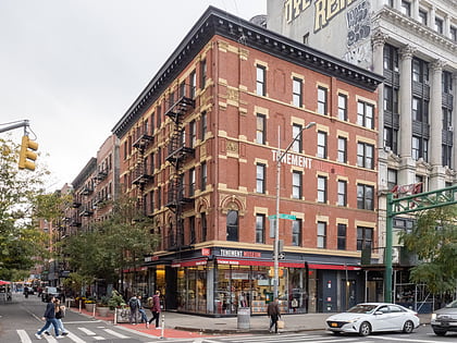
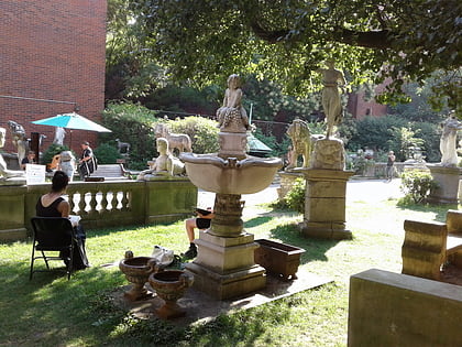
Nearby attractions include: Bowery Ballroom, New Museum, Lower East Side Tenement Museum, Elizabeth Street Garden.
Frequently Asked Questions (FAQ)
Which popular attractions are close to Essex Crossing?
Nearby attractions include Broome Street, New York City (1 min walk), Forsyth Street, New York City (1 min walk), WhiteBox, New York City (2 min walk), The Lodge Gallery, New York City (2 min walk).
How to get to Essex Crossing by public transport?
The nearest stations to Essex Crossing:
Metro
Bus
Ferry
Metro
- Grand Street • Lines: B, D (3 min walk)
- Bowery • Lines: J, Z (4 min walk)
Bus
- D3 Busline (4 min walk)
- Allen Street & Grand Street • Lines: M15, M15-Sbs (4 min walk)
Ferry
- Pier 11/Wall Street Terminal (34 min walk)

 Subway
 Manhattan Buses