Wetlands Preserve, New York City
Map
Facts and practical information
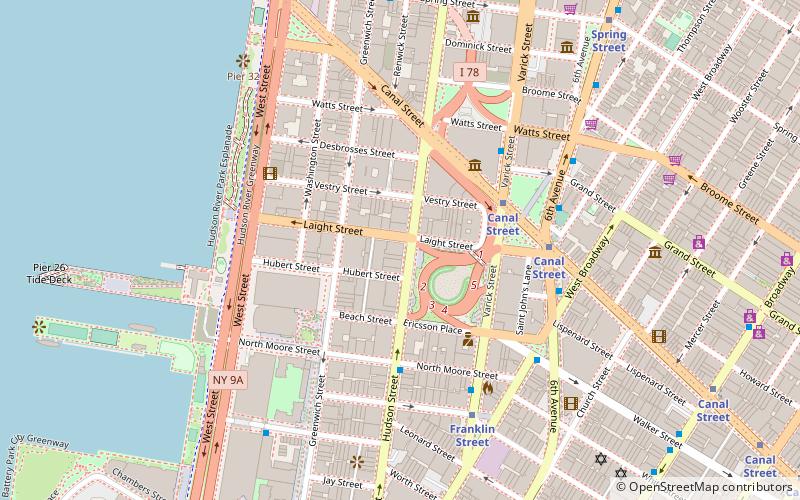
Wetlands Preserve, commonly referred to as Wetlands, was a nightclub in New York City that opened in 1989 and closed in 2001. It was located at 161 Hudson Street in Manhattan's Tribeca neighborhood. ()
Coordinates: 40°43'18"N, 74°0'31"W
Address
Downtown Manhattan (Tribeca)New York City
ContactAdd
Social media
Add
Getting there by public transportation
Public transportation stops near this location
- Metro
- Bus
- Light rail
- Train
- Ferry
 Metro
Metro
- Calculate routeCanal Street 5 min walk
- Calculate routeBroadway & Franklin Street 10 min walk
- Calculate routeBrookfield Place / Battery Park City Ferry Terminal 18 min walk
- Calculate routeHoboken NJ Transit Terminal 34 min walk
- Calculate routeHoboken Terminal 35 min walk
- Calculate routeHoboken Terminal 36 min walk
Maps SubwayMaps
 Manhattan Buses
SubwayMapsManhattan BusesDay trips
Wetlands Preserve – popular in the area (distance from the attraction)
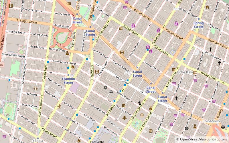
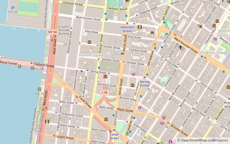
Nearby attractions include: Ear Inn, Duane Park, Soho Repertory Theatre, ARChive of Contemporary Music.


Frequently Asked Questions (FAQ)
Which popular attractions are close to Wetlands Preserve?
Nearby attractions include Art Projects International, New York City (3 min walk), Albert Capsouto Park, New York City (4 min walk), Holland Plaza Building, New York City (4 min walk), LentSpace, New York City (4 min walk).
How to get to Wetlands Preserve by public transport?
The nearest stations to Wetlands Preserve:
Metro
Bus
Ferry
Train
Light rail
Metro
- Canal Street • Lines: 1, 2, A, C, E (5 min walk)
Bus
- Broadway & Franklin Street • Lines: M55 (10 min walk)
Ferry
- Brookfield Place / Battery Park City Ferry Terminal (18 min walk)
- Hoboken NJ Transit Terminal (34 min walk)
Train
- Hoboken Terminal (35 min walk)
Light rail
- Hoboken Terminal • Lines: Hblr (36 min walk)