Madison Street, Chicago
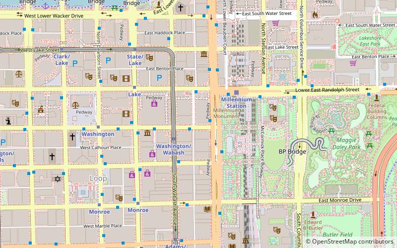
Map
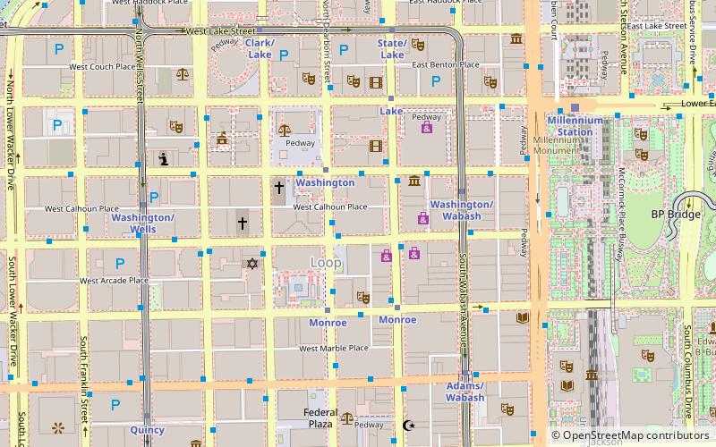
Map

Facts and practical information
Madison Street is a major east–west street in Chicago, Illinois. Prior to human intervention, the Chicago River emptied into Lake Michigan at the present day intersection of Madison Street and Michigan Avenue. ()
Coordinates: 41°52'56"N, 87°37'43"W
Day trips
Madison Street – popular in the area (distance from the attraction)
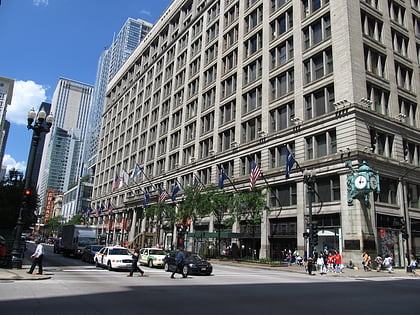
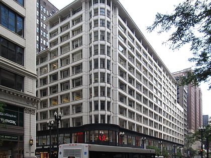
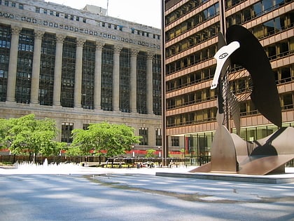
Nearby attractions include: State Street, Macy's, Sullivan Center, Chicago Picasso.
Frequently Asked Questions (FAQ)
Which popular attractions are close to Madison Street?
Nearby attractions include Chicago Building, Chicago (2 min walk), State Street, Chicago (2 min walk), CIBC Theatre, Chicago (3 min walk), Inland Steel Building, Chicago (3 min walk).
How to get to Madison Street by public transport?
The nearest stations to Madison Street:
Bus
Metro
Train
Bus
- Madison & Dearborn/State • Lines: 124, 157, 19, 20, 56, 60, J14, (N) N20, (N) N60 (1 min walk)
- Dearborn & Madison • Lines: 151, 22, 24, 36, 62, (N) N22, (N) N62 (1 min walk)
Metro
- Washington • Lines: Blue (2 min walk)
- Monroe • Lines: Blue, Red (3 min walk)
Train
- Millennium Station (8 min walk)
- Van Buren Street (13 min walk)

 Rail "L"
