Saint Matthews, Louisville

Gallery (2)
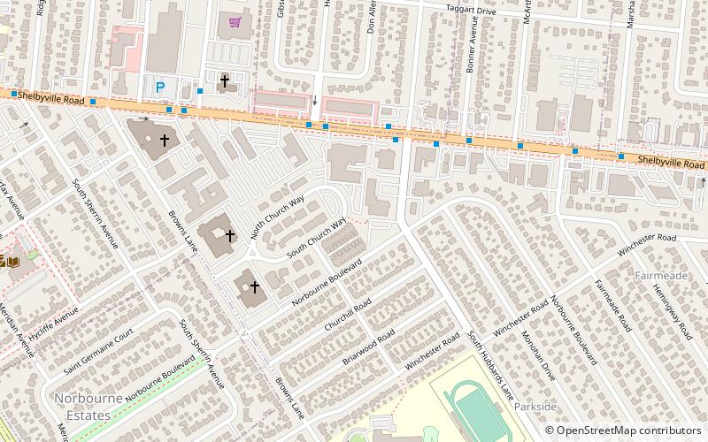
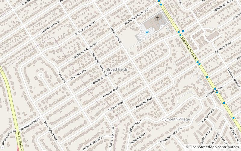
Map

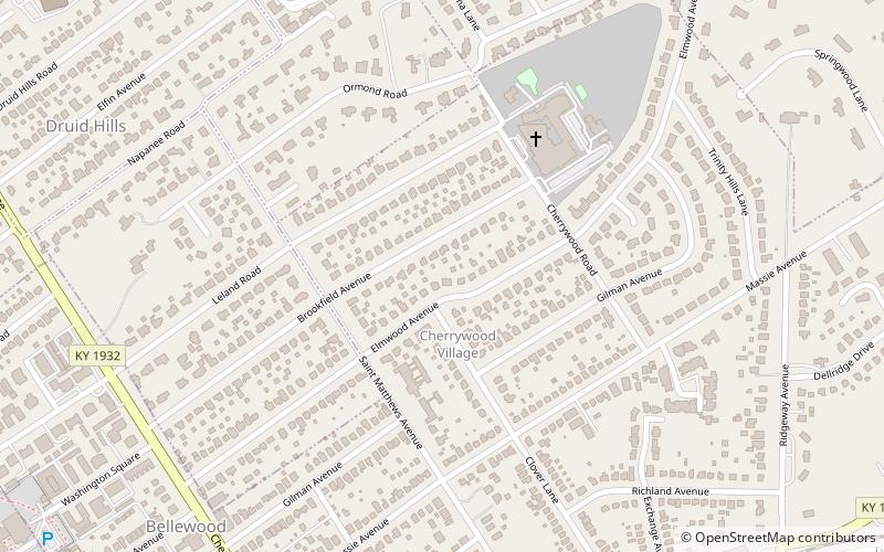
Map
Gallery
Facts and practical information
St. Matthews is a city in Jefferson County, Kentucky, United States. It forms part of the Louisville Metro government but is separately incorporated as a home rule-class city. The population was 17,472 at the 2010 census, up from 15,852 at the 2000 census. It is the 23rd-largest city in the state. St. Matthews is one of the state's major shopping areas, home to the fifth-largest mall in Kentucky along with many smaller shopping centers along Shelbyville Road. ()
Getting there by public transportation
Public transportation stops near this location
- Bus
 Bus
Bus
- Calculate routeShelbyville / Heady 4 min walk
Day trips

Frequently Asked Questions (FAQ)
Which popular attractions are close to Saint Matthews?
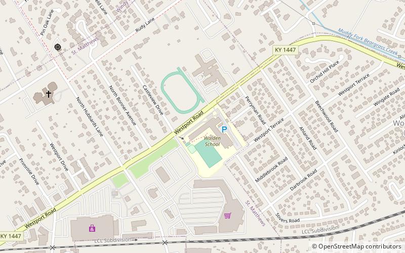
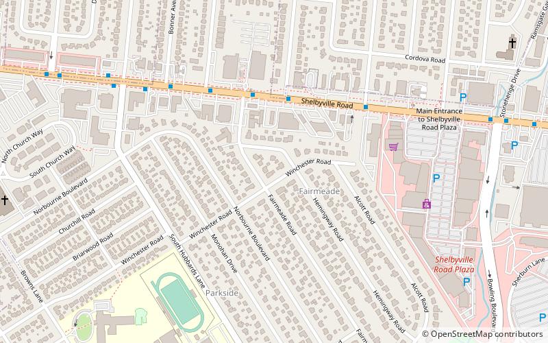
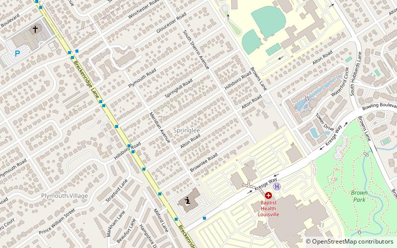
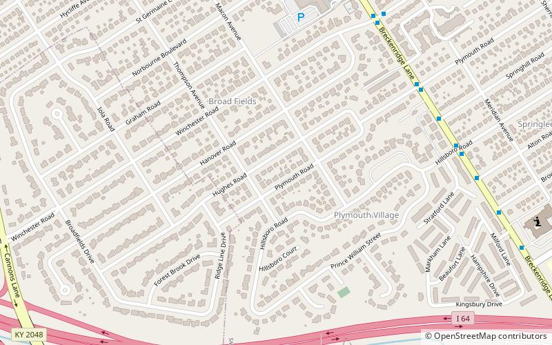
Nearby attractions include Fairmeade, Louisville (9 min walk), Springlee, Louisville (16 min walk), Walden School, Louisville (21 min walk), Broad Fields, Louisville (22 min walk).
How to get to Saint Matthews by public transport?
The nearest stations to Saint Matthews:
Bus
Bus
- Shelbyville / Heady • Lines: 29East Oxmoor, 29West Oxmoor (4 min walk)