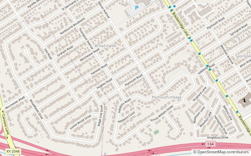
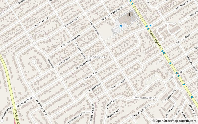
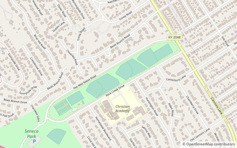
Plymouth Village, Louisville
Map
Facts and practical information
Plymouth Village is a neighborhood of St. Matthews, Kentucky a city in Jefferson County, Kentucky, United States. The population was 201 at the 2000 census. ()
Address
East LouisvilleLouisville
ContactAdd
Social media
Add
Getting there by public transportation
Public transportation stops near this location
- Bus
 Bus
Bus
- Calculate routeShelbyville / Sherrin 23 min walk
Day trips


Frequently Asked Questions (FAQ)
Which popular attractions are close to Plymouth Village?
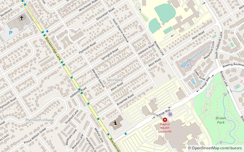
Nearby attractions include Broad Fields, Louisville (3 min walk), Springlee, Louisville (13 min walk), Saint Matthews, Louisville (23 min walk).
How to get to Plymouth Village by public transport?
The nearest stations to Plymouth Village:
Bus
Bus
- Shelbyville / Sherrin • Lines: 29East Oxmoor, 29West Oxmoor (23 min walk)