St. Clair-Superior, Cleveland
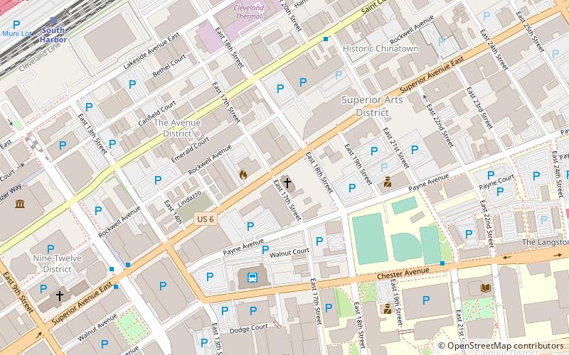
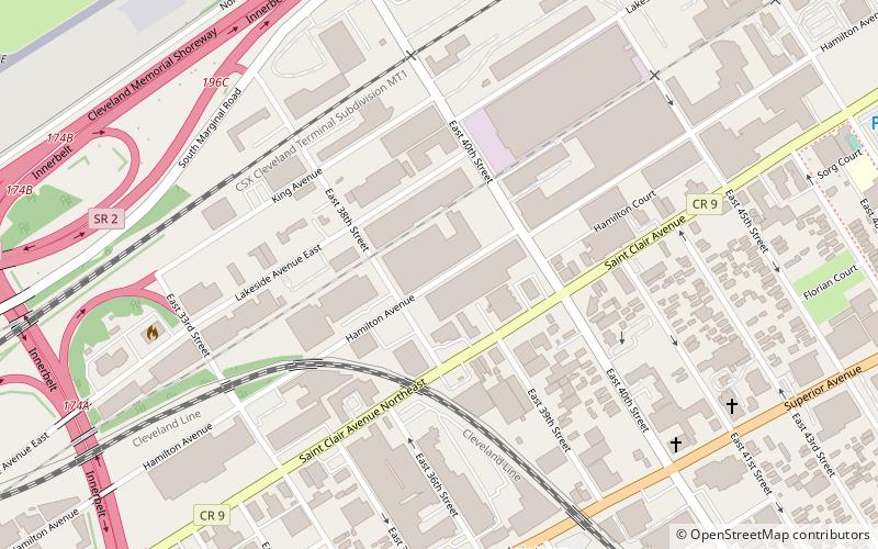
Map
Gallery
Facts and practical information
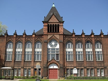
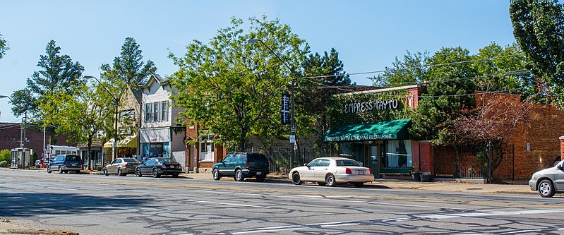
St. Clair–Superior is a neighborhood in Cleveland, Ohio, in the United States. Largely settled in the 1880s and 1890s by Eastern European immigrants, white flight in the 1990s left the neighborhood largely African American. It is one of the oldest and most culturally diverse neighborhoods in Cleveland today. ()
Coordinates: 41°31'0"N, 81°40'0"W
Address
Goodrich - Kirtland ParkCleveland
ContactAdd
Social media
Add
Day trips
St. Clair-Superior – popular in the area (distance from the attraction)
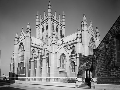
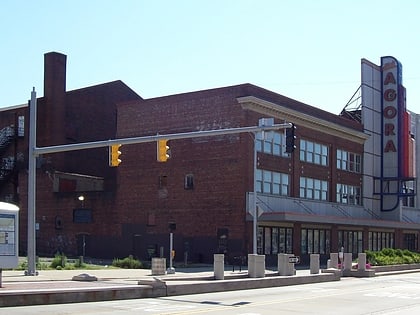
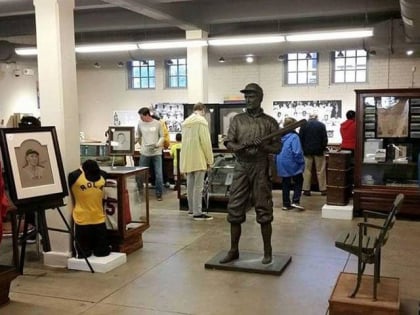
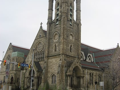
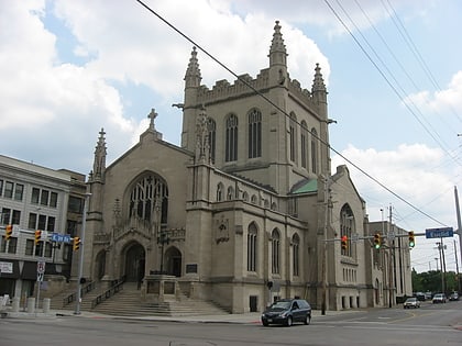
Nearby attractions include: Trinity Cathedral, Cleveland Agora, Baseball Heritage Museum, St. Paul's Episcopal Church.
Frequently Asked Questions (FAQ)
Which popular attractions are close to St. Clair-Superior?
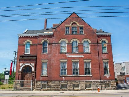
Nearby attractions include North Presbyterian Church, Cleveland (8 min walk), Goodrich–Kirtland Park, Cleveland (9 min walk), International Women's Air & Space Museum, Cleveland (22 min walk), Asiatown, Cleveland (23 min walk).
How to get to St. Clair-Superior by public transport?
The nearest stations to St. Clair-Superior:
Bus
Light rail
Bus
- East 36th Street (25 min walk)
- East 30th Street (25 min walk)
Light rail
- South Harbor • Lines: 67Ax, 67AX Blue, Blue, Green (32 min walk)

