Pier 35, San Francisco
Map
Gallery
Facts and practical information
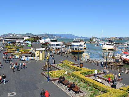
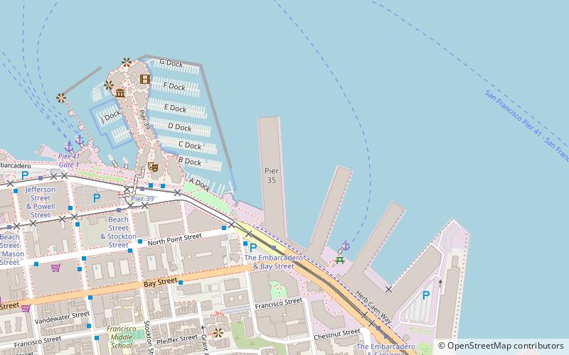
Pier 35 is a pier in The Embarcadero, San Francisco, USA, just to the east of Pier 39. ()
Coordinates: 37°48'31"N, 122°24'22"W
Address
The EmbarcaderoSan Francisco
ContactAdd
Social media
Add
Day trips
Pier 35 – popular in the area (distance from the attraction)
Nearby attractions include: Exploratorium, Musee Mecanique, Coit Tower, Aquarium of the Bay.
Frequently Asked Questions (FAQ)
Which popular attractions are close to Pier 35?
Nearby attractions include Skygate, San Francisco (3 min walk), Aquarium of the Bay, San Francisco (5 min walk), Pioneer Park, San Francisco (11 min walk), Coit Tower, San Francisco (11 min walk).
How to get to Pier 35 by public transport?
The nearest stations to Pier 35:
Tram
Bus
Ferry
Trolleybus
Metro
Light rail
Tram
- The Embarcadero & Bay Street • Lines: F (4 min walk)
- Pier 39 • Lines: F (7 min walk)
Bus
- Kearny Street & North Point Street • Lines: 8 (4 min walk)
- North Point Street & Kearny Street • Lines: 8 (4 min walk)
Ferry
- Pier 41 Gate 2 • Lines: Blue & Gold Fleet, San Francisco Bay Ferry (9 min walk)
- Pier 41 Gate 1 • Lines: Blue & Gold Fleet (10 min walk)
Trolleybus
- Columbus Avenue & Mason Street • Lines: 30 (15 min walk)
Metro
- Embarcadero • Lines: Blue, Green, Red, Yellow (31 min walk)
Light rail
- Embarcadero • Lines: K, N, S, T (31 min walk)

 Muni Metro


