Rugby, Roanoke
Map

Map

Facts and practical information
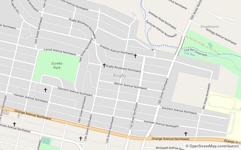
Melrose–Rugby Historic District is a national historic district located in the Melrose–Rugby neighborhood of Roanoke, Virginia. It encompasses 111 contributing buildings and 2 contributing objects in a planned residential subdivision, with most of the dwellings being built between the late 1910s and late 1940s. It is a primarily residential district with single-family dwellings. The houses include American Craftsman-style bungalow, American Foursquare, and Cape Cod style. ()
Built: 1916 (110 years ago)Coordinates: 37°17'14"N, 79°57'22"W
Address
Melrose-RugbyRoanoke
ContactAdd
Social media
Add
Day trips
Rugby – popular in the area (distance from the attraction)
Nearby attractions include: Berglund Center, Taubman Museum of Art, Valley View Mall, O. Winston Link Museum.
Frequently Asked Questions (FAQ)
How to get to Rugby by public transport?
The nearest stations to Rugby:
Train
Bus
Train
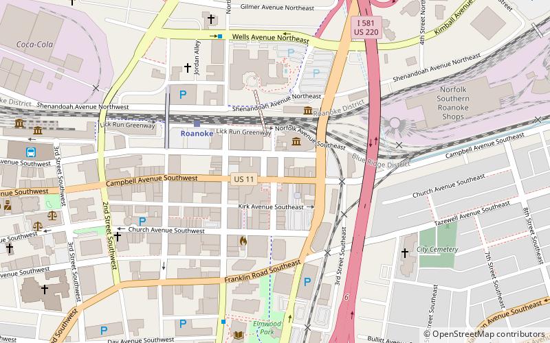
- Roanoke (32 min walk)
Bus
- Cambell Court Bus Station (34 min walk)


