Westlake, Seattle
Map
Map

Facts and practical information
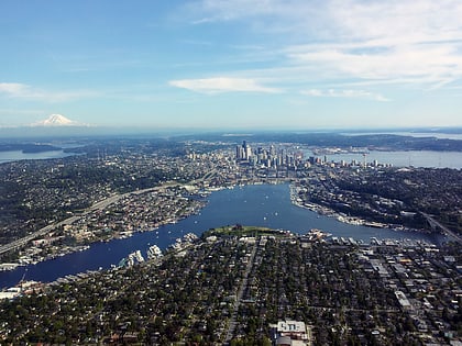
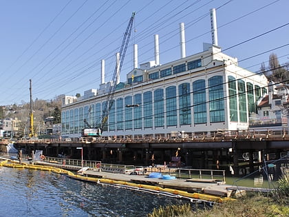
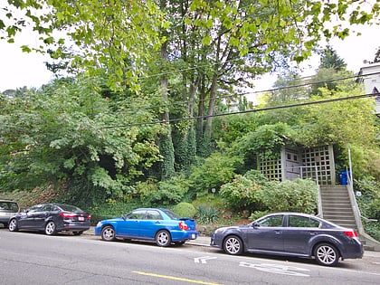
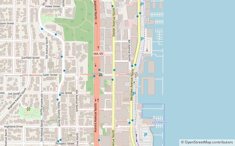
Westlake is a neighborhood in the city of Seattle, in the U.S. state of Washington, named after its location on the western shore of Lake Union. It is a relatively narrow neighborhood, there being only a few blocks between the shoreline and its western limit at Aurora Avenue N. beyond which is Queen Anne. To the south beyond Aloha Street is South Lake Union, and to the north across the Fremont Cut is Fremont. Its main thoroughfares are Dexter and Westlake Avenues N.. ()
Coordinates: 47°37'57"N, 122°20'31"W
Address
Cascade (Westlake)Seattle
ContactAdd
Social media
Add
Day trips
Westlake – popular in the area (distance from the attraction)
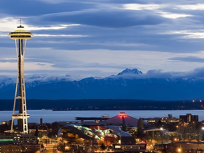
Nearby attractions include: Seattle Center, Museum of Pop Culture, Lake Union, Lake Union Park.
Frequently Asked Questions (FAQ)
Which popular attractions are close to Westlake?
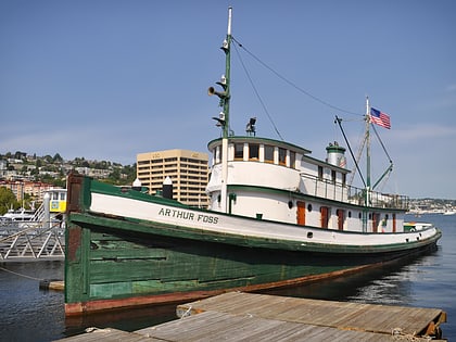
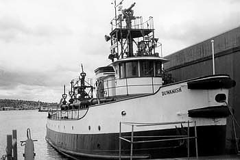
Nearby attractions include Arthur Foss, Seattle (10 min walk), Duwamish, Seattle (10 min walk), Northwest Seaport, Seattle (10 min walk), Virginia V, Seattle (10 min walk).
How to get to Westlake by public transport?
The nearest stations to Westlake:
Bus
Tram
Train
Light rail
Bus
- Dexter Ave N & Galer St • Lines: 62 (1 min walk)
- Westlake Ave N & Galer St • Lines: 40 (2 min walk)
Tram
- Lake Union Park • Lines: South Lake Union Streetcar (14 min walk)
- Fairview & Campus Drive • Lines: South Lake Union Streetcar (15 min walk)
Train
- Seattle Center (22 min walk)
Light rail
- Capitol Hill • Lines: 1 (35 min walk)

