Chehalis Gap, Millersylvania State Park

Gallery (1)
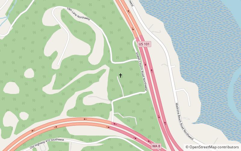
Map
Map
Facts and practical information
The Chehalis Gap is a gap in the Coast Range of Washington state between the southernmost foothills of the Olympic Mountains called the Satsop Hills, and the Willapa Hills. ()
Maximum elevation: 463 ftCoordinates: 47°0'0"N, 123°4'59"W
Address
Millersylvania State Park
ContactAdd
Social media
Add
Day trips