Capitol State Forest, Millersylvania State Park
Map

Map

Facts and practical information
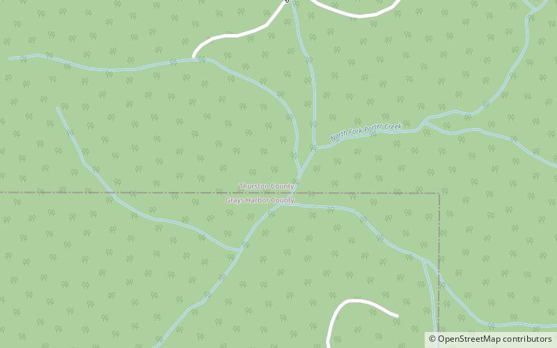
The Capitol State Forest is a 91,650-acre state forest in Thurston and Grays Harbor counties of the U.S. state of Washington. It includes part of the unusual Mima Mounds geologic feature. ()
Coordinates: 47°0'0"N, 123°10'1"W
Address
Millersylvania State Park
ContactAdd
Social media
Add
Day trips
Capitol State Forest – popular in the area (distance from the attraction)
Nearby attractions include: Capitol Peak, Black Hills, Chehalis Gap.


