Black Hills, Millersylvania State Park
Map

Map

Facts and practical information
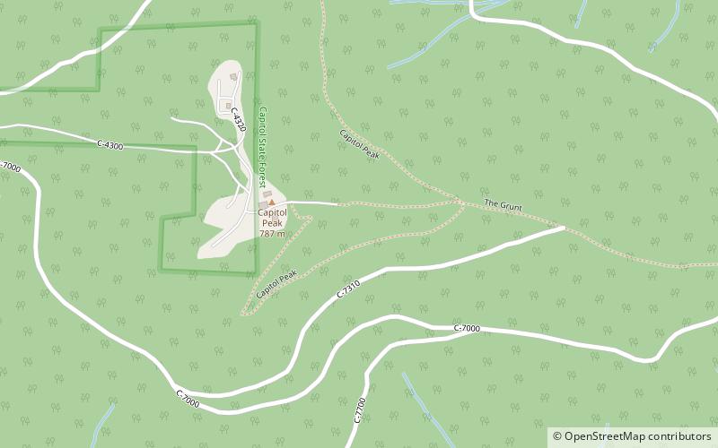
The Black Hills are a small range of hills in Thurston and Grays Harbor counties of Washington. They are a subset of the Willapa Hills. 2,664-foot Capitol Peak is the highest peak in the range. ()
Maximum elevation: 2664 ftCoordinates: 46°58'22"N, 123°8'10"W
Address
Millersylvania State Park
ContactAdd
Social media
Add
Day trips
Black Hills – popular in the area (distance from the attraction)
Nearby attractions include: Mima mounds, Capitol Peak, Chehalis Gap, Capitol State Forest.


