West End, Cincinnati

Gallery (1)
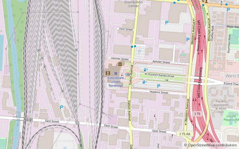
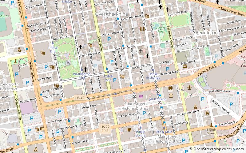
Map

Map
Facts and practical information
West End is a neighborhood in Cincinnati, Ohio, located northwest of downtown, east of Queensgate, west of Over-the-Rhine, and southeast of Fairview. The population was 6,627 at the 2010 census. ()
Coordinates: 39°6'43"N, 84°31'31"W
Address
West EndCincinnati
ContactAdd
Social media
Add
Getting there by public transportation
Public transportation stops near this location
- Bus
- Tram
- Train
 Bus
Bus
- Calculate routeLinn St & Derrick Turnbow Ave 4 min walk
- Calculate routeLiberty St & Lockhurst Ln 7 min walk
- Calculate routeLiberty & Elm 9 min walk
- Calculate routeFindlay Market–Elm 10 min walk
- Calculate route14th & Elm 10 min walk
- Calculate routeCincinnati Union Terminal 17 min walk
Day trips


Frequently Asked Questions (FAQ)
Which popular attractions are close to West End?
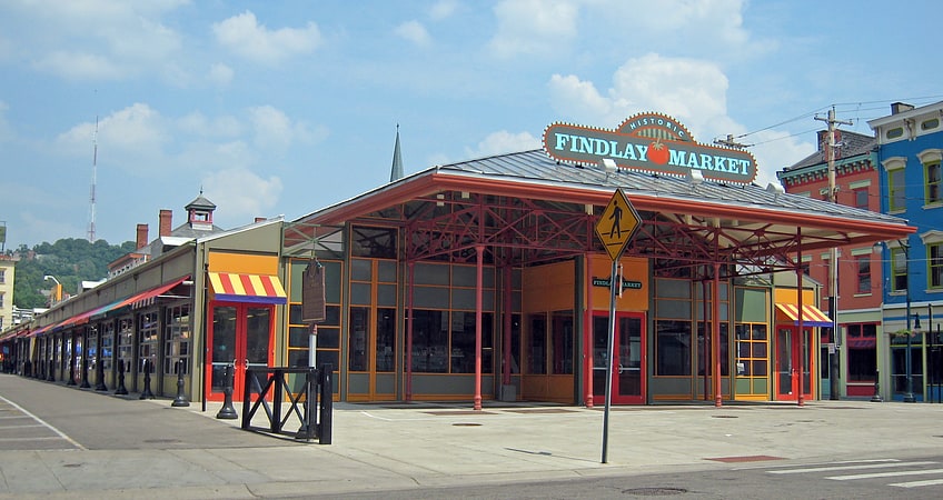
Nearby attractions include Laurel Homes Historic District, Cincinnati (2 min walk), Betts House, Cincinnati (9 min walk), Betts–Longworth Historic District, Cincinnati (9 min walk), Cincinnati Music Hall, Cincinnati (10 min walk).
How to get to West End by public transport?
The nearest stations to West End:
Bus
Tram
Train
Bus
- Linn St & Derrick Turnbow Ave • Lines: 16 (4 min walk)
- Liberty St & Lockhurst Ln • Lines: 16 (7 min walk)
Tram
- Liberty & Elm • Lines: 100 (9 min walk)
- Findlay Market–Elm • Lines: 100 (10 min walk)
Train
- Cincinnati Union Terminal (17 min walk)