Kenton, Portland
Map

Map

Facts and practical information
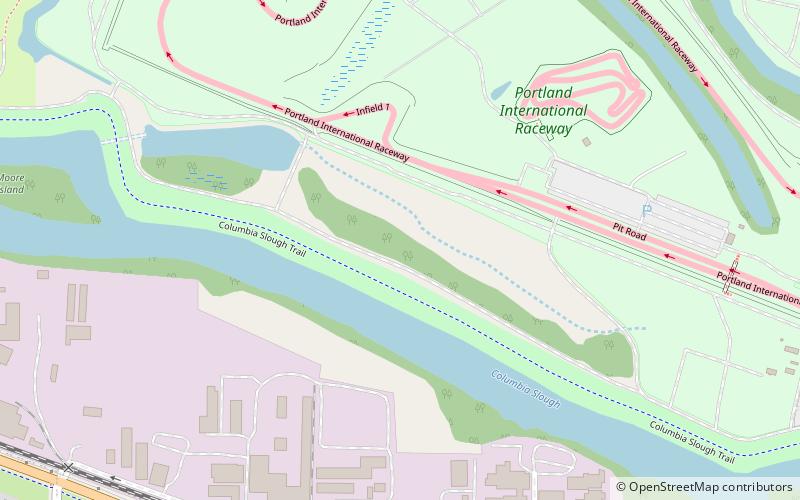
Kenton is a neighborhood in the north section of Portland, Oregon, United States. The neighborhood was originally a company town founded in 1911 for the Swift Meat Packing Company. ()
Coordinates: 45°35'40"N, 122°41'53"W
Day trips
Kenton – popular in the area (distance from the attraction)
Nearby attractions include: Portland Meadows, Portland Expo Center, Lotus Isle, David Cole House.
Frequently Asked Questions (FAQ)
Which popular attractions are close to Kenton?
Nearby attractions include Statues of Paul Bunyan, Portland (24 min walk), Statue of Paul Bunyan, Portland (24 min walk), Delta Park, Portland (24 min walk), McCoy Park, Portland (24 min walk).
How to get to Kenton by public transport?
The nearest stations to Kenton:
Bus
Light rail
Bus
- North Chautauqua & Alaska • Lines: 4 (15 min walk)
- Delta Park/Vanport (16 min walk)
Light rail
- Delta Park/Vanport • Lines: Yellow (16 min walk)
- Kenton/North Denver Avenue • Lines: Yellow (24 min walk)


