Chinatown, San Francisco


Facts and practical information
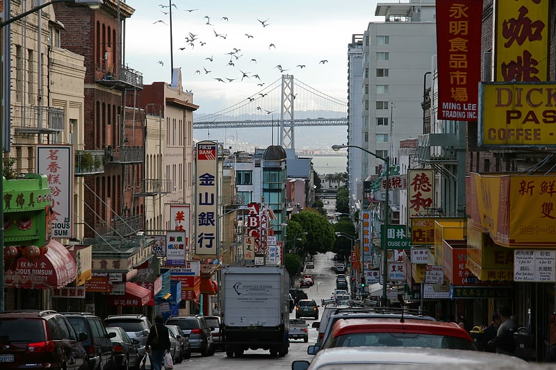
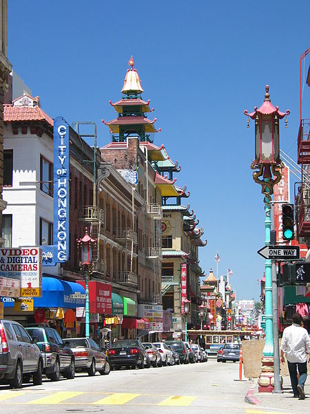
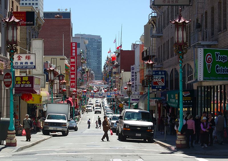
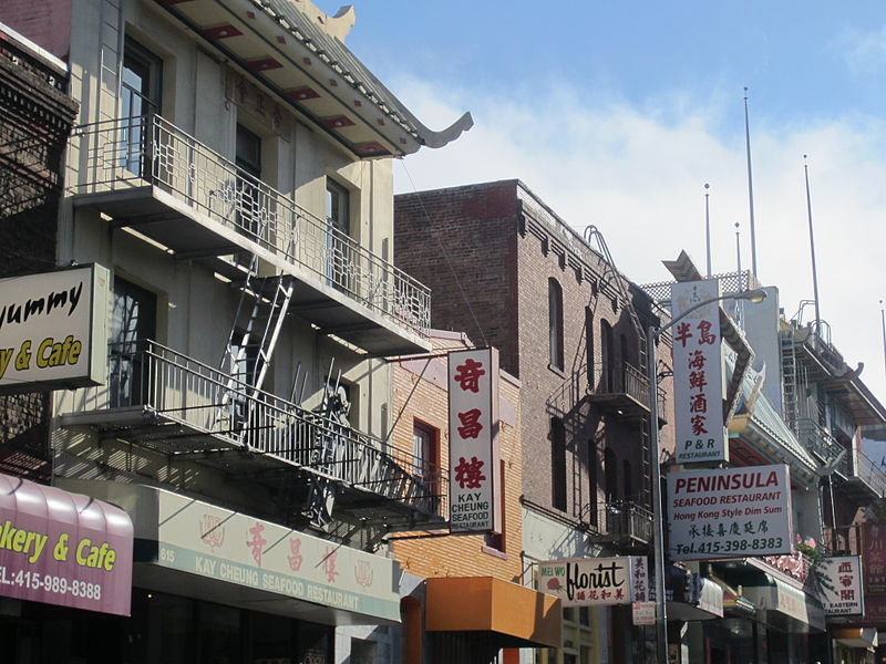
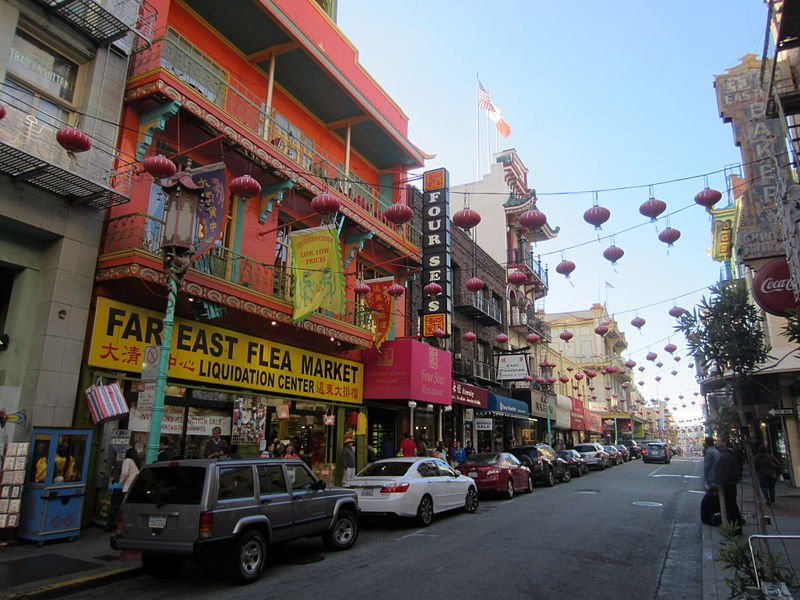
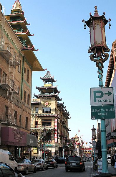
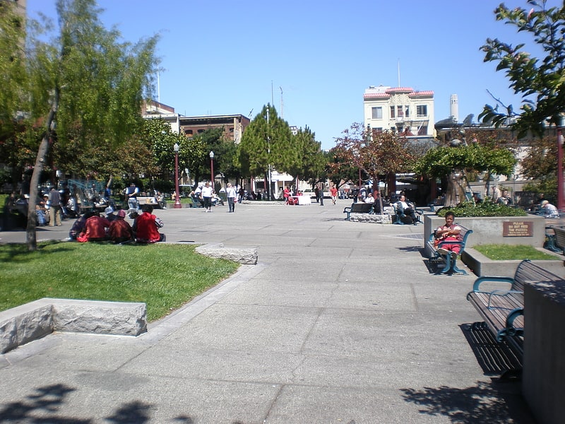
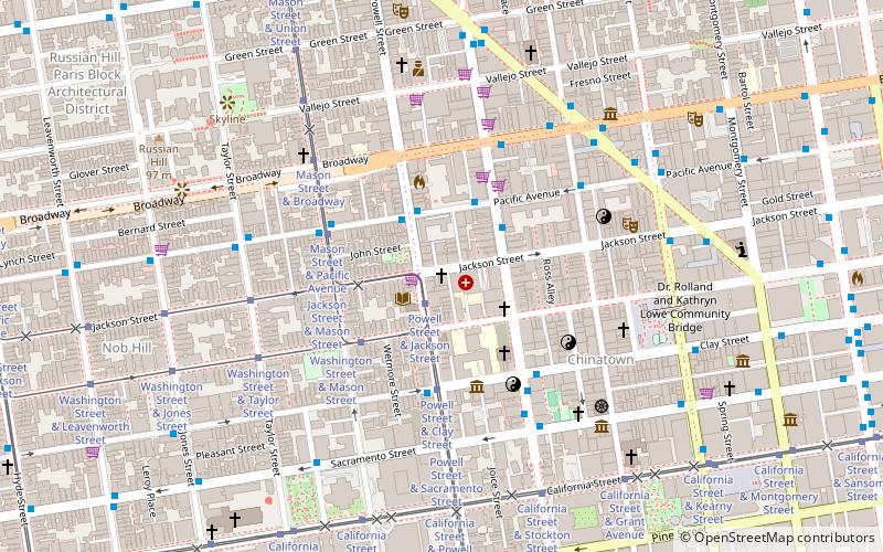
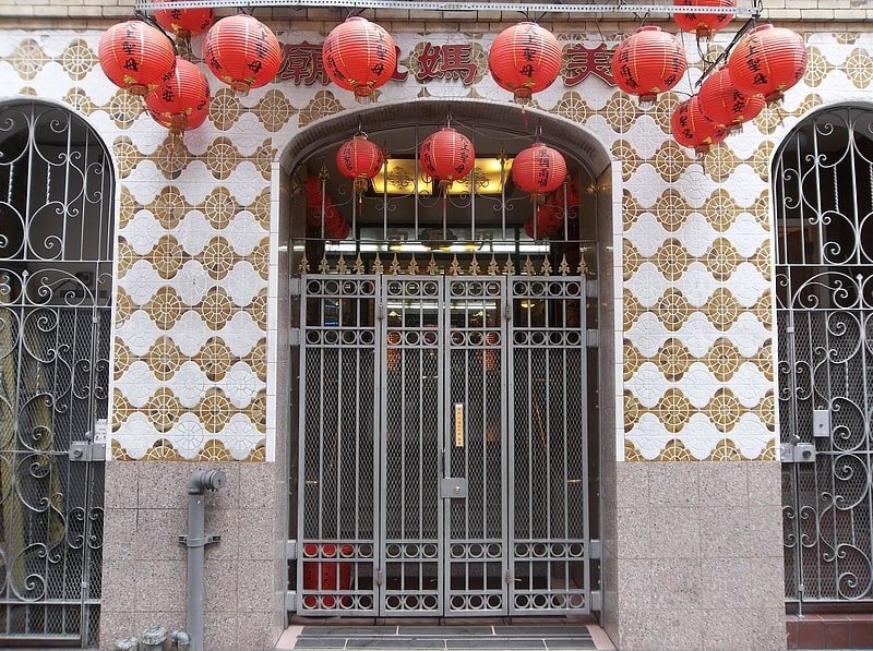
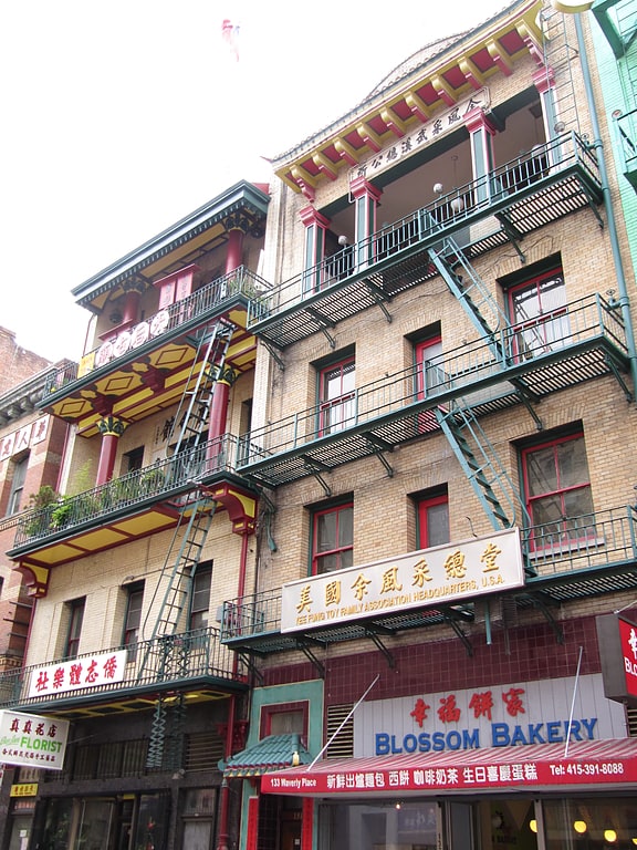
The Chinatown centered on Grant Avenue and Stockton Street in San Francisco, California, is the oldest Chinatown in North America and one of the largest Chinese enclaves outside Asia. It is also the oldest and largest of the four notable Chinese enclaves within San Francisco. Since its establishment in 1848, it has been important and influential in the history and culture of ethnic Chinese immigrants in North America. Chinatown is an enclave that has retained its own customs, languages, places of worship, social clubs, and identity. There are two hospitals, several parks and squares, numerous churches, a post office, and other infrastructure. Recent immigrants, many of whom are elderly, opt to live in Chinatown because of the availability of affordable housing and their familiarity with the culture. San Francisco's Chinatown is also renowned as a major tourist attraction, drawing more visitors annually than the Golden Gate Bridge. ()
- Metro
- Bus
- Trolleybus
- Tram
- Light rail
- Ferry
 Metro
Metro
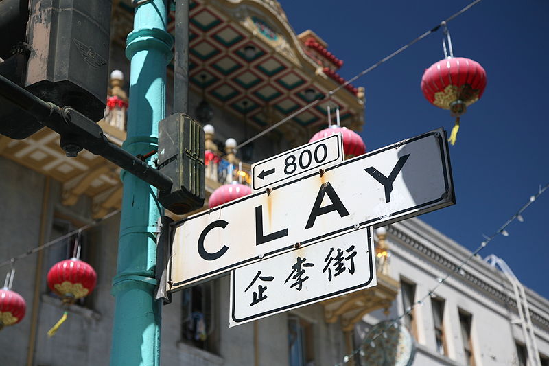
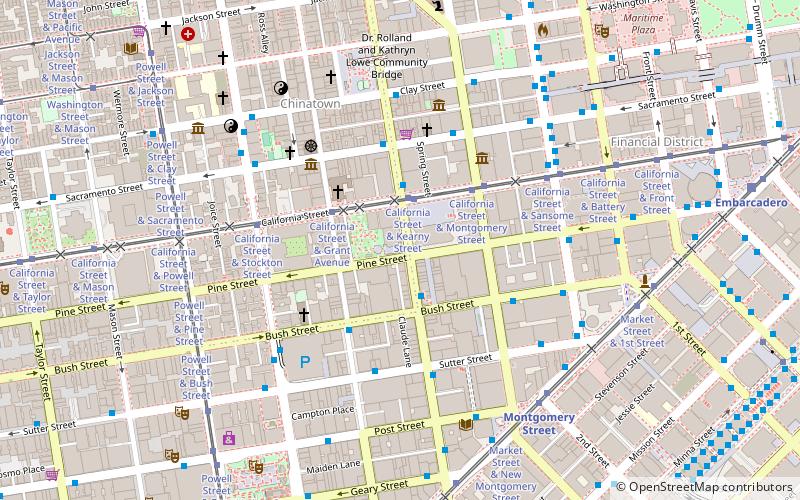
- Calculate routeClay Street & Grant Avenue 1 min walk
- Calculate routeSacramento Street & Kearny Street 3 min walk
- Calculate routeStockton Street & Clay Street 3 min walk
- Calculate routePacific Avenue & Grant Avenue 5 min walk
- Calculate routeCalifornia Street & Grant Avenue 4 min walk
- Calculate routeCalifornia Street & Kearny Street 4 min walk
- Calculate routeCalifornia Street & Stockton Street 5 min walk
- Calculate routePowell Street & Clay Street 6 min walk
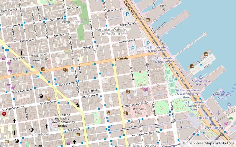
- Calculate routeMontgomery Street 11 min walk
- Calculate routeEmbarcadero 13 min walk
- Calculate routePowell Street 17 min walk
- Calculate routeMontgomery Street 12 min walk
- Calculate routeEmbarcadero 13 min walk
- Calculate routePowell Street 18 min walk
- Calculate routeFolsom 25 min walk
- Calculate routeFerry Building Gate B 19 min walk
- Calculate routePier 41 Gate 1 28 min walk
 Muni Metro
Chinatown – popular in the area (distance from the attraction)
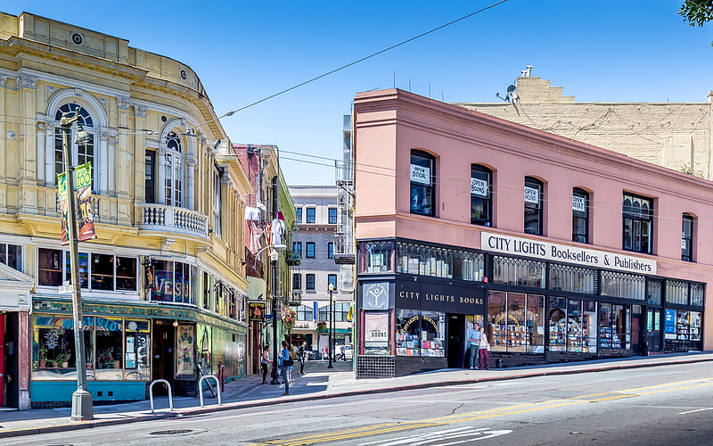
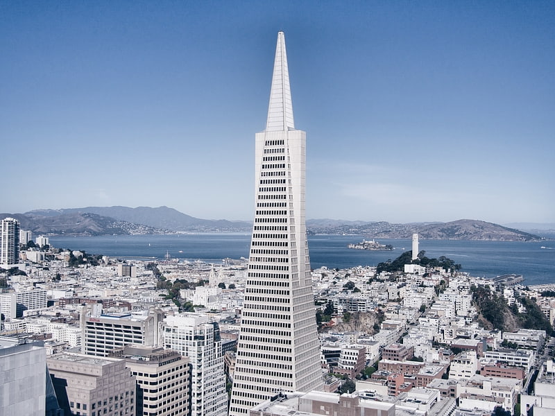
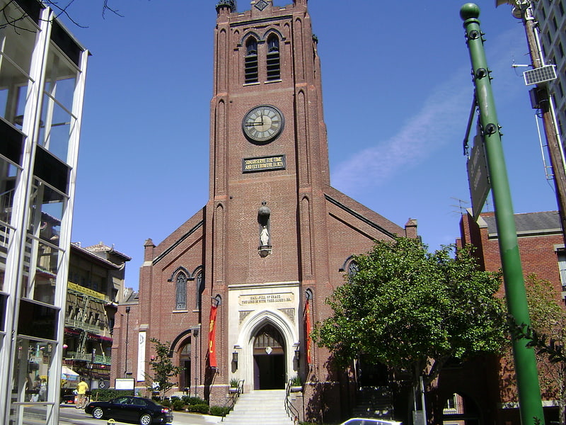
Nearby attractions include: City Lights Bookstore, Transamerica Pyramid, Old St. Mary's Cathedral, San Francisco Comfort Women Memorial.
Frequently Asked Questions (FAQ)
Which popular attractions are close to Chinatown?
How to get to Chinatown by public transport?
Trolleybus
- Clay Street & Grant Avenue • Lines: 1 (1 min walk)
- Sacramento Street & Kearny Street • Lines: 1 (3 min walk)
Bus
- Stockton Street & Clay Street • Lines: 30, 8, 91 (3 min walk)
- Pacific Avenue & Grant Avenue • Lines: 12 (5 min walk)
Tram
- California Street & Grant Avenue (4 min walk)
- California Street & Kearny Street (4 min walk)
Metro
- Montgomery Street • Lines: Blue, Green, Red, Yellow (11 min walk)
- Embarcadero • Lines: Blue, Green, Red, Yellow (13 min walk)
Light rail
- Montgomery Street • Lines: K, N, S, T (12 min walk)
- Embarcadero • Lines: K, N, S, T (13 min walk)
Ferry
- Ferry Building Gate B • Lines: San Francisco Bay Ferry (19 min walk)
- Pier 41 Gate 1 • Lines: Blue & Gold Fleet (28 min walk)