Corryville, Cincinnati

Gallery (2)
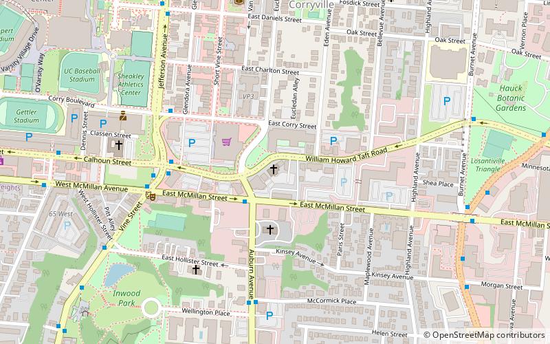
Map
Map
Gallery
Facts and practical information
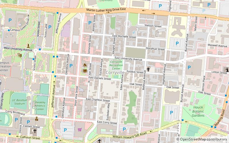
Corryville is a neighborhood in Cincinnati, Ohio, east of the University of Cincinnati, southeast of Clifton, south and west of Avondale, northwest of Walnut Hills, and north of Mount Auburn. The population was 3,327 at the 2010 census. ()
Coordinates: 39°7'55"N, 84°30'24"W
Address
CorryvilleCincinnati
ContactAdd
Social media
Add
Getting there by public transportation
Public transportation stops near this location
- Bus
- Tram
- Train
 Bus
Bus
- Calculate routeJefferson & Daniels 7 min walk
- Calculate routeJefferson Ave & University 7 min walk
- Calculate routeUniversity of Cincinnati Interstate Buses 9 min walk
- Calculate routeMLK & Jefferson 9 min walk
- Calculate routeSafari Train Station 24 min walk
- Calculate routeBrewery District 32 min walk
- Calculate routeFindlay Market–Elm 35 min walk
Day trips


Frequently Asked Questions (FAQ)
Which popular attractions are close to Corryville?
Nearby attractions include Mount Auburn Presbyterian Church, Cincinnati (8 min walk), Captain Stone House, Cincinnati (8 min walk), University of Cincinnati, Cincinnati (8 min walk), Wilson-Gibson House, Cincinnati (10 min walk).
How to get to Corryville by public transport?
The nearest stations to Corryville:
Bus
Train
Tram
Bus
- Jefferson & Daniels • Lines: 24, 78 (7 min walk)
- Jefferson Ave & University • Lines: 24, 78, M+ (7 min walk)
Train
- Safari Train Station (24 min walk)
Tram
- Brewery District • Lines: 100 (32 min walk)
- Findlay Market–Elm • Lines: 100 (35 min walk)