18th Street Expressway Bridge, Kansas City
Map
Facts and practical information
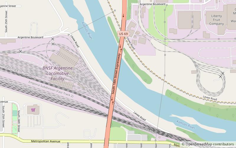
The 18th Street Expressway Bridge is a one level deck truss, four lane crossing of the Kansas River in Kansas City, Kansas. It was built in 1959, to replace the Argentine Bridge to the west. It also rises above the BNSF railroad tracks. It was damaged in 2000, after a BNSF train derailed and destroyed one of the piers, which caused the south approach span to buckle, and disabled it for several months while it was being repaired. ()
Opened: 1959 (67 years ago)Coordinates: 39°4'36"N, 94°38'59"W
Address
West Kansas City (Santa Fe Industrial)Kansas City
ContactAdd
Social media
Add
Day trips


Frequently Asked Questions (FAQ)
Which popular attractions are close to 18th Street Expressway Bridge?
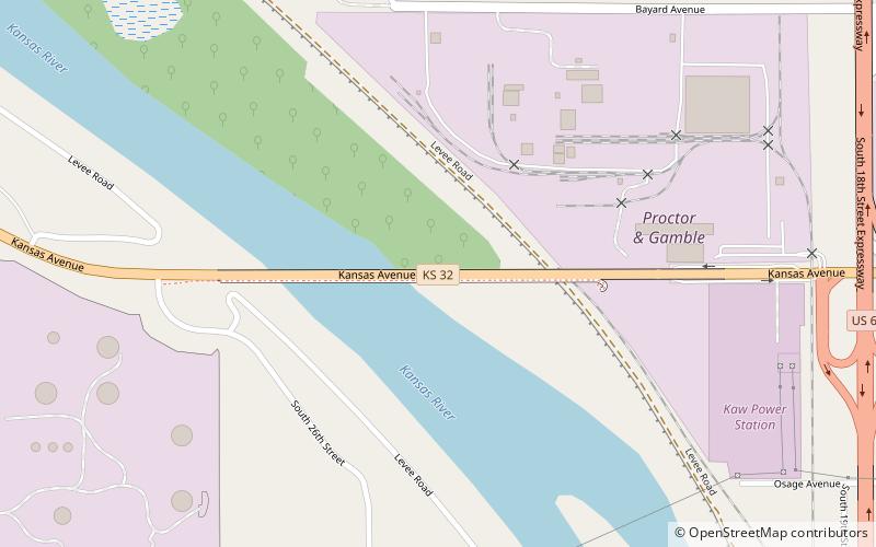
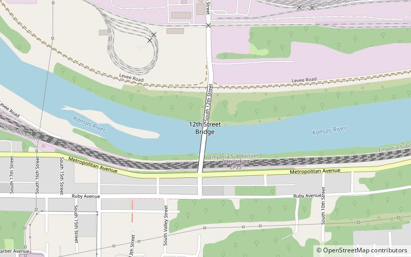
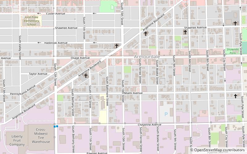
Nearby attractions include 12th Street Bridge, Kansas City (15 min walk), Argentine Carnegie Library, Kansas City (17 min walk), Kansas Avenue Bridge, Kansas City (22 min walk), Armourdale, Kansas City (23 min walk).