Armourdale, Kansas City
Map
Facts and practical information
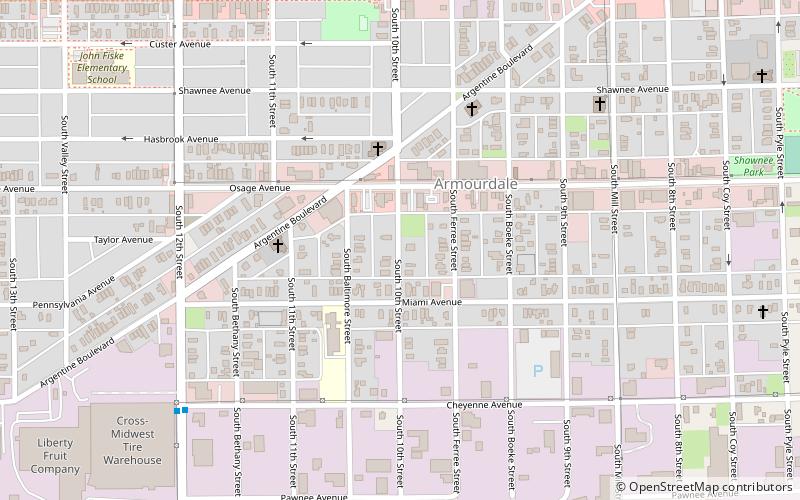
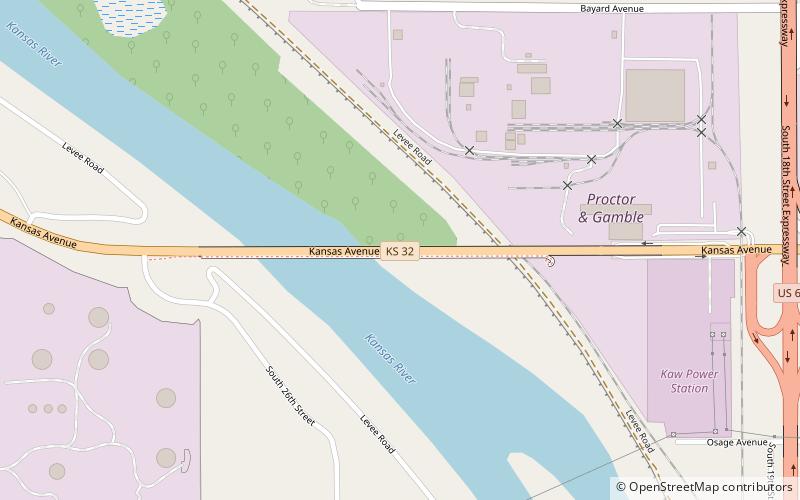
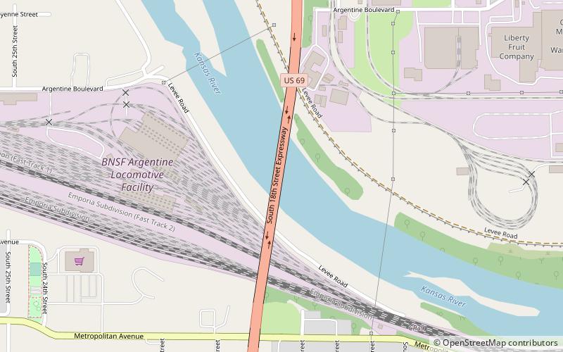
Armourdale community is a district in the lower part of the Kansas River valley in Kansas City, Kansas. It is a main district between the West Bottoms and the Rosedale, Kansas area. The Kansas River makes an oxbow curve around the entire district, which is home to Shawnee Park and Bill Clem Park. ()
Coordinates: 39°4'59"N, 94°38'7"W
Address
West Kansas City (Armourdale)Kansas City
ContactAdd
Social media
Add
Getting there by public transportation
Public transportation stops near this location
- Bus
 Bus
Bus
- Calculate routeRainbow at Southwest Blvd. 41 min walk
Day trips


Frequently Asked Questions (FAQ)
Which popular attractions are close to Armourdale?
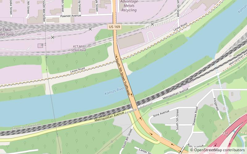
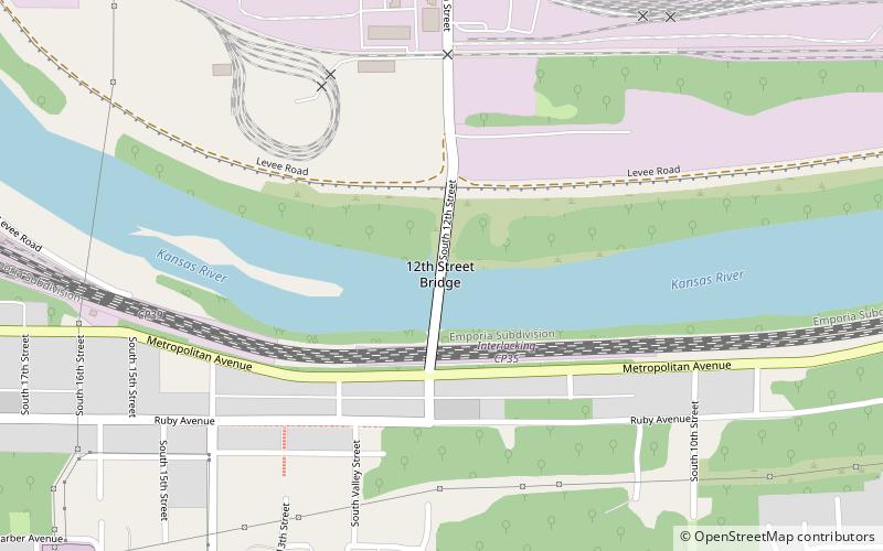
Nearby attractions include 12th Street Bridge, Kansas City (18 min walk), 7th Street Trafficway Bridge, Kansas City (20 min walk), 18th Street Expressway Bridge, Kansas City (23 min walk).
How to get to Armourdale by public transport?
The nearest stations to Armourdale:
Bus
Bus
- Rainbow at Southwest Blvd. • Lines: 11 (41 min walk)