Abernethy Bridge, Oregon City
Map

Map

Facts and practical information
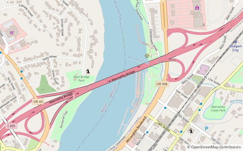
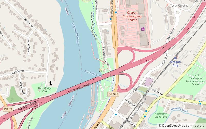
The George Abernethy Bridge, or simply Abernethy Bridge, is a steel plate and box girder bridge that spans the Willamette River between Oregon City and West Linn, Oregon, United States, and which carries Interstate 205. It is also known as the Oregon City Freeway Bridge and the I-205 Bridge. ()
Length: 2727 ftCoordinates: 45°21'52"N, 122°36'14"W
Address
Oregon City
ContactAdd
Social media
Add
Day trips
Abernethy Bridge – popular in the area (distance from the attraction)
Nearby attractions include: Willamette Falls, McLoughlin Promenade, Clackamette Park, Oregon City Bridge.
Frequently Asked Questions (FAQ)
Which popular attractions are close to Abernethy Bridge?
Nearby attractions include Jon Storm Park, Oregon City (4 min walk), Clackamette Park, Oregon City (11 min walk), Oregon City Bridge, Oregon City (13 min walk), End of the Oregon Trail Interpretive & Visitor Information Center, Oregon City (13 min walk).
How to get to Abernethy Bridge by public transport?
The nearest stations to Abernethy Bridge:
Bus
Train
Bus
- Main & 15th • Lines: 32 (5 min walk)
- Main & 13th • Lines: 154, 32, 79 (6 min walk)
Train
- Oregon City (11 min walk)


