Albany, Berkeley

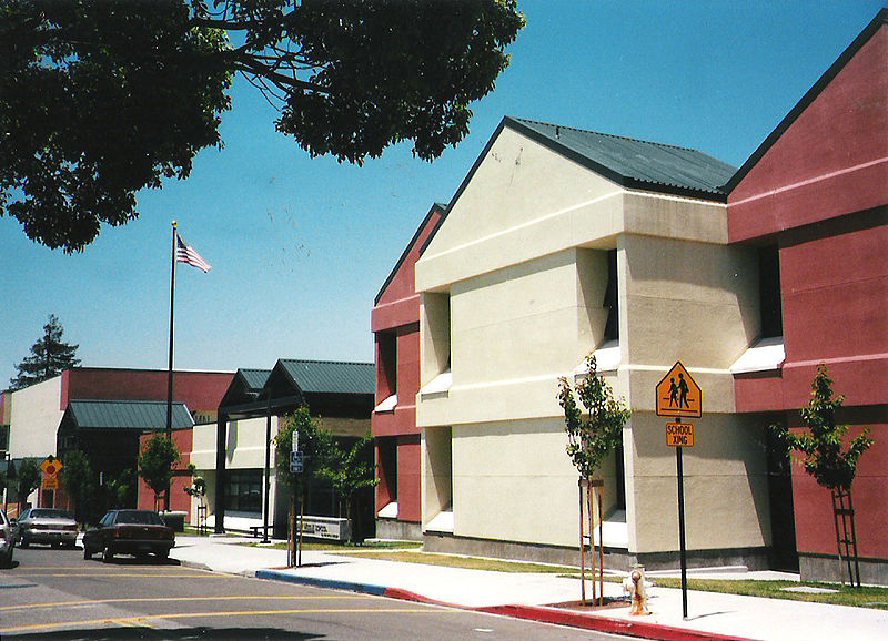
Gallery (3)
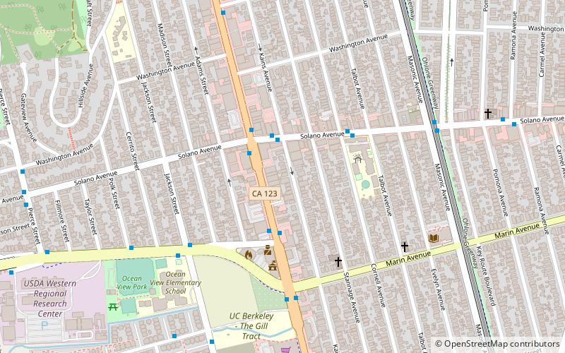
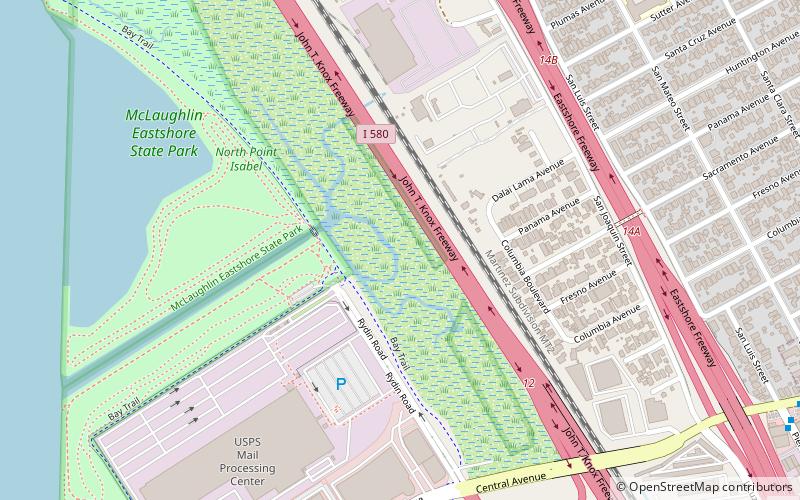
Map
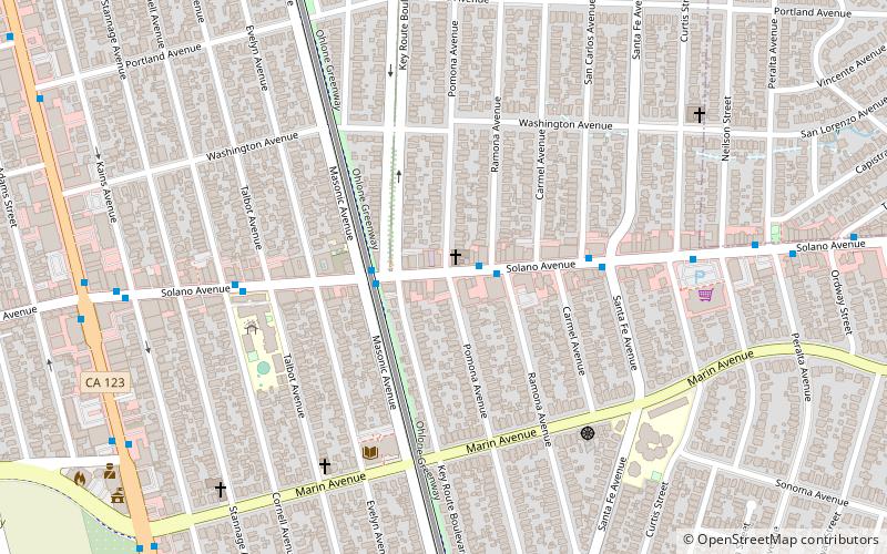
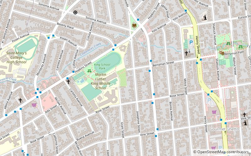
Map
Gallery
Facts and practical information
Albany is a city on the east shore of San Francisco Bay in northwestern Alameda County, California. The population was 20,271 at the 2020 census. ()
Getting there by public transportation
Public transportation stops near this location
- Metro
- Bus
 Metro
Metro
- Calculate routeSan Pablo Avenue & Solano Avenue 2 min walk
- Calculate routeSolano Avenue & Kains Avenue 2 min walk
- Calculate routeSan Pablo Avenue & Buchanan Street 3 min walk
- Calculate routeEl Cerrito Plaza 24 min walk
- Calculate routeNorth Berkeley 34 min walk
Day trips


Frequently Asked Questions (FAQ)
Which popular attractions are close to Albany?
Nearby attractions include Albany Library, Berkeley (8 min walk), Solano Avenue, Berkeley (9 min walk), UC Village, Berkeley (9 min walk), Berkeley Buddhist Priory, Berkeley (13 min walk).
How to get to Albany by public transport?
The nearest stations to Albany:
Bus
Metro
Bus
- San Pablo Avenue & Solano Avenue • Lines: 18, 72, 72M, 72R, 800, G (2 min walk)
- Solano Avenue & Kains Avenue • Lines: 18, G (2 min walk)
Metro
- El Cerrito Plaza • Lines: Orange, Red (24 min walk)
- North Berkeley • Lines: Orange, Red (34 min walk)